
IMAGES TAKEN NEAR TO
Seymour Square, BRIGHTON, BN2 1DP
Introduction
This page details the photographs taken nearby to Seymour Square, BN2 1DP by members of the Geograph project.
The Geograph project started in 2005 with the aim of publishing, organising and preserving representative images for every square kilometre of Great Britain, Ireland and the Isle of Man.

There are currently over 7.5m images from over14,400 individuals and you can help contribute to the project by visiting https://www.geograph.org.uk
Image Map
Images are licensed for reuse under creativecommons.org/licenses/by-sa/2.0
Notes
- Clicking on the map will re-center to the selected point.
- The higher the marker number, the further away the image location is from the centre of the postcode.
Image Listing (447 Images Found)
Images are licensed for reuse under creativecommons.org/licenses/by-sa/2.0
Image
Details
Distance
1
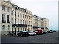
Portland Place, Brighton
In the Kemp Towmn area between St Georges Road and Marine Parade
Image: © Paul Gillett
Taken: 26 Feb 2013
0.01 miles
2
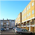
Seymour Square, Kemp Town, Brighton
Built in the early 1970s on the site of a former brewery which had opened in the 1830s as Bristol Brewery later becoming the original Kemp Town Brewery in 1933. One of two major Brighton breweries in the mid 20th century until it was purchased by Charringtons in 1954 though the name continued to be used until 1963. That year brewing ceased and the buildings were demolished in 1970. Originally Seymour Street ran from Marine Parade to St George's Road with the brewery straddling the road, however, the street was truncated with the construction of the new development. Viewed from Paston Place.
Image: © Simon Carey
Taken: 1 Nov 2015
0.02 miles
3
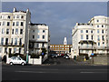
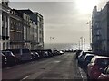
Seymour Street
A cul-de-sac developed in the 1970s on the site of an old brewery. The building to the right is the former Bristol Hotel built in the 1830s.
Image: © Simon Carey
Taken: 20 Feb 2009
0.02 miles
6
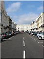
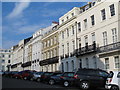
Portland Place, Kemp Town, Brighton
Located between Marine Parade, the A259, and St George's Road, the B2118, it was developed between 1824-28 and was the first between Royal Crescent and Kemp Town. The building at the top of the street is part of the Brighton & Hove University Hospital Trust.
Image: © Simon Carey
Taken: 4 Oct 2015
0.03 miles
7
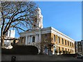
St George's Church
Church Website: http://stgeorgesbrighton.org/
Image: © Paul Gillett
Taken: 13 Nov 2011
0.03 miles
8
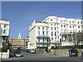
Seymour Street, Brighton
Seymour Street is a residential street leading off the coast road as it leaves Brighton. The blue square traffic signs indicate that it is a no-through-road.
The white tower is part of a church building which is behind the brick-built buildings.
Image: © Malc McDonald
Taken: 10 Apr 2011
0.03 miles
9
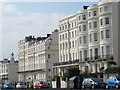
Marine Parade. BN2 (2)
Around Portland Place.
Image: © Mike Quinn
Taken: 24 Apr 2012
0.03 miles
10
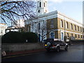
St George's church
St. George’s Church is the Parish Church for the Kemp Town area of Brighton, the church opened in 1826 http://en.wikipedia.org/wiki/St_George's_Church,_Brighton
Church website: http://www.stgeorges-church.org/
Image: © Paul Gillett
Taken: 28 Nov 2009
0.03 miles