
IMAGES TAKEN NEAR TO
Priory Road, ARUNDEL, BN18 9EJ
Introduction
This page details the photographs taken nearby to Priory Road, BN18 9EJ by members of the Geograph project.
The Geograph project started in 2005 with the aim of publishing, organising and preserving representative images for every square kilometre of Great Britain, Ireland and the Isle of Man.

There are currently over 7.5m images from over14,400 individuals and you can help contribute to the project by visiting https://www.geograph.org.uk
Image Map
Images are licensed for reuse under creativecommons.org/licenses/by-sa/2.0
Notes
- Clicking on the map will re-center to the selected point.
- The higher the marker number, the further away the image location is from the centre of the postcode.
Image Listing (39 Images Found)
Images are licensed for reuse under creativecommons.org/licenses/by-sa/2.0
Image
Details
Distance
1
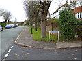
Looking west to the roundabout from the southern end of Howard Road
Image: © Shazz
Taken: 28 Nov 2015
0.02 miles
2
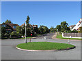
Bernard Road
Viewed from the junction with Priory Road. The area was developed after the Second World War.
Image: © Simon Carey
Taken: 10 Oct 2010
0.04 miles
3
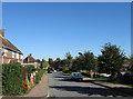
Priory Road
Looking down towards the junction with Ford Road. Now a residential street in Arundel it had once been an access route from the town to Tortington Priory which was blocked up sometime in the 17th century.
Image: © Simon Carey
Taken: 10 Oct 2010
0.06 miles
4
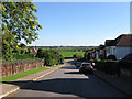
Maxwell Road
Looking down towards the junction with Ford Road with the Arun flood plain beyond. The road was developed just before the Second World War.
Image: © Simon Carey
Taken: 10 Oct 2010
0.07 miles
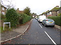
6
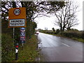
Ford Road enters Arundel
See also http://www.geograph.org.uk/photo/3377183.
Image: © Shazz
Taken: 28 Nov 2015
0.10 miles
7
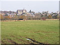
Arundel View
The view north east from Ford Road of the Cathedral and Castle.
Image: © Gordon Griffiths
Taken: 24 Nov 2010
0.10 miles
8
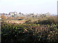
Ford Road View
The view of Arundel Cathedral and Castle from the south west.
Image: © Gordon Griffiths
Taken: 24 Nov 2010
0.10 miles
9
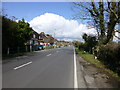
Ford Road entering the SW fringe of Arundel
Image: © Dave Spicer
Taken: 19 Mar 2013
0.11 miles
10
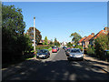
Priory Road
Viewed from the point where it turns 90 degrees to the north west and becomes Stewards Rise. The road is actually quite an ancient route linking the town of Arundel to Tortington Priory. It was believed to have been blocked up sometime in the 17th century with only this section remaining after as a field access track.
Image: © Simon Carey
Taken: 10 Oct 2010
0.12 miles