
IMAGES TAKEN NEAR TO
Liphook Close, BRIGHTON, BN1 7AZ
Introduction
This page details the photographs taken nearby to Liphook Close, BN1 7AZ by members of the Geograph project.
The Geograph project started in 2005 with the aim of publishing, organising and preserving representative images for every square kilometre of Great Britain, Ireland and the Isle of Man.

There are currently over 7.5m images from over14,400 individuals and you can help contribute to the project by visiting https://www.geograph.org.uk
Image Map
Images are licensed for reuse under creativecommons.org/licenses/by-sa/2.0
Notes
- Clicking on the map will re-center to the selected point.
- The higher the marker number, the further away the image location is from the centre of the postcode.
Image Listing (36 Images Found)
Images are licensed for reuse under creativecommons.org/licenses/by-sa/2.0
Image
Details
Distance
1
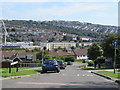
Thompson Road, Hollingdean, Brighton
Thompson Road descends a steep gradient in Hollingdean, in the suburbs of Brighton.
Image: © Malc McDonald
Taken: 24 Aug 2019
0.06 miles
2
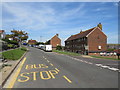
The Crestway. Hollingdean, Brighton
Low-rise blocks of flats on The Crestway in Hollingbury, a residential road in Brighton's suburbs.
Image: © Malc McDonald
Taken: 24 Aug 2019
0.06 miles
3
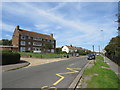
The Crestway, Hollingdean, Brighton
The Crestway in Hollingdean, a suburb of Brighton.
Image: © Malc McDonald
Taken: 24 Aug 2019
0.08 miles
4
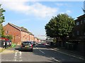
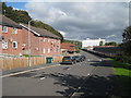
Saunders Park View, Brighton
A small estate of Lewes Road which consists of two branches, a southern and northern one. This is the northern part which was built in the late 1980s by the council on land obtained from neighbouring Preston Barracks. The building visible in the distance is the Watts Building part of the University of Brighton.
Image: © Simon Carey
Taken: 11 Oct 2015
0.12 miles
6
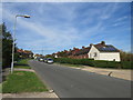
Davey Drive, Hollingdean, Brighton
Davey Drive is a residential road which climbs a hill in Hollingdean, a suburb of Brighton.
Image: © Malc McDonald
Taken: 24 Aug 2019
0.12 miles
7
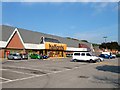
Pavilion Retail Park, Lewes Road, Brighton
Built in the late 1980s on the southern part of the old Preston Barracks demolishing virtually all the original surviving buildings from the late 18th century in the process. There are three retail units though only two were occupied at this time, Halfords in view and B & Q through the trees to the right, both have been here since the park opened. The empty unit was occupied by Comet from 1990 until the end of 2012 when they went bust. The park is looking very shabby at the moment.
Image: © Simon Carey
Taken: 11 Oct 2015
0.16 miles
8
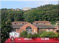
Preston Barracks, Lewes Road, Brighton
The original barracks were built in 1793 and extended southwards to include what is now Image Over the years various parts were added and included housing to the west, see Image At the end of the 1980s the southern part was sold off and became a retail park whilst the housing was sold to the council. All former buildings, with one or two exceptions, were demolished with this building constructed in the section to the north for use by the Territorial Army who continued using the site until the turn of the century. Since then the site has been derelict awaiting development, a few schemes were put forward but nothing materialised until 2014 when it was announced that the neighbouring University of Brighton will take it over and build new faculty buildings and student residences.
The houses behind are part of Saunders Park View beyond which is the railway line and west of that some buildings are visible in the postwar Hollingdean estate.
Image: © Simon Carey
Taken: 11 Oct 2015
0.16 miles
9
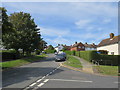
The Crestway, Hollingdean, Brighton
The Crestway is a residential road on a steep hill in Hollingbury, a suburb of Brighton.
Image: © Malc McDonald
Taken: 24 Aug 2019
0.16 miles
10
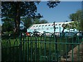
Shabitat
Shabitat is a community-minded project created to supply affordable furniture to those on low incomes
http://www.magpie.coop/shabitat.php
Image: © Paul Gillett
Taken: 31 May 2009
0.17 miles