IMAGES TAKEN NEAR TO
Brighton Road, LANCING, BN15 8BQ
Introduction
This page details the photographs taken nearby to Brighton Road, BN15 8BQ by members of the Geograph project.
The Geograph project started in 2005 with the aim of publishing, organising and preserving representative images for every square kilometre of Great Britain, Ireland and the Isle of Man.

There are currently over 7.5m images from over14,400 individuals and you can help contribute to the project by visiting https://www.geograph.org.uk
Image Map
Images are licensed for reuse under creativecommons.org/licenses/by-sa/2.0
Notes
- Clicking on the map will re-center to the selected point.
- The higher the marker number, the further away the image location is from the centre of the postcode.
Image Listing (131 Images Found)
Images are licensed for reuse under creativecommons.org/licenses/by-sa/2.0
Image
Details
Distance
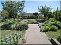
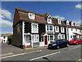
1
Path to East Street
Public footpath 2053 from Brighton Road (A259).
Image: © Peter Holmes
Taken: 18 Apr 2015
0.03 miles
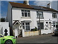
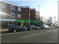
3
Lancing, Headborough Gardens
On South Street: https://www.theargus.co.uk/news/5108315.gardening-gift/
Image: © Mike Faherty
Taken: 1 Jun 2019
0.04 miles
4

Lancing: Beach Green Car Park, 'pay by card'
Image: © Michael Garlick
Taken: 5 Mar 2023
0.04 miles
5
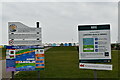
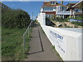
Lancing: Beach Green information boards
Image: © Michael Garlick
Taken: 5 Mar 2023
0.04 miles
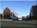
9
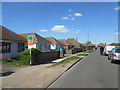
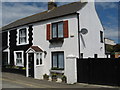
Cecil Road BN15 8HP
Typical bungalows for this area.
Image: © Peter Holmes
Taken: 18 Apr 2015
0.05 miles