
IMAGES TAKEN NEAR TO
West Hill Place, BRIGHTON, BN1 3RU
Introduction
This page details the photographs taken nearby to West Hill Place, BN1 3RU by members of the Geograph project.
The Geograph project started in 2005 with the aim of publishing, organising and preserving representative images for every square kilometre of Great Britain, Ireland and the Isle of Man.

There are currently over 7.5m images from over14,400 individuals and you can help contribute to the project by visiting https://www.geograph.org.uk
Image Map
Images are licensed for reuse under creativecommons.org/licenses/by-sa/2.0
Notes
- Clicking on the map will re-center to the selected point.
- The higher the marker number, the further away the image location is from the centre of the postcode.
Image Listing (724 Images Found)
Images are licensed for reuse under creativecommons.org/licenses/by-sa/2.0
Image
Details
Distance
1
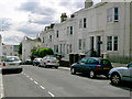
West Hill Road, Brighton
Taken from the north side of the road looking east.
Image: © Slbs
Taken: 14 Jun 2008
0.02 miles

3
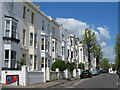
Buckingham Road, BN1
North of West Hill Road.
Image: © Mike Quinn
Taken: 16 May 2012
0.03 miles
5
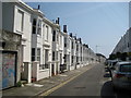
Brighton: Clifton Street
The uniformity of these white Victorian terraced houses is compensated by the quirkiness of the collection of black chimneys.
Image: © Nigel Cox
Taken: 8 Jun 2008
0.03 miles
6

The Providence Chapel, West Hill Road, BN1
Image: © Mike Quinn
Taken: 16 May 2012
0.04 miles
7
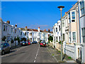
Westhill Street
Former working class district developed in the 1840s and 50s and now a desirable place for a town residence being close to both station and city centre. The Westhill area is also a conservation district.
Image: © Simon Carey
Taken: 26 Aug 2007
0.04 miles
8
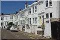
West Hill Street, Brighton
Seen from the junction with Buckingham Road.
Image: © Stephen McKay
Taken: 1 Jun 2017
0.04 miles
9
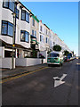
Clifton Street
Head south down Buckingham Road then turn east down Guildford Road and then north into Clifton Street. Built up after Brighton Station (5 minutes walk away) opened in the 1850s.
Click link to take you to the next page. http://www.geograph.org.uk/photo/212428
Image: © Simon Carey
Taken: 30 Jul 2006
0.05 miles
10
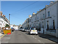
Mill Row, West Hill Road
As the name suggests this row of modern housing stands on the site of a former windmill known as Hodsons Mill that was constructed in 1804 and removed in 1866 having been engulfed by the urban development of Brighton. See http://regencysociety-jamesgray.com/volume31/source/jg_31_032.html for an image taken around the late 1850s and http://regencysociety-jamesgray.com/volume31/source/jg_31_027.html of the mill being demolished in 1866. The base of the windmill was retained and used for storage for many years after but was demolished in the 1960s when the present houses were built. See http://regencysociety-jamesgray.com/volume31/source/jg_31_029.html for a view taken in 1957.
West Hill Road was developed from the 1850s and connects Buckingham Road to Dyke Road.
Image: © Simon Carey
Taken: 14 Aug 2011
0.05 miles