IMAGES TAKEN NEAR TO
Apollo Avenue, BURY, BL9 8HG
Introduction
This page details the photographs taken nearby to Apollo Avenue, BL9 8HG by members of the Geograph project.
The Geograph project started in 2005 with the aim of publishing, organising and preserving representative images for every square kilometre of Great Britain, Ireland and the Isle of Man.

There are currently over 7.5m images from over14,400 individuals and you can help contribute to the project by visiting https://www.geograph.org.uk
Image Map (15 Images)


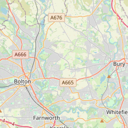
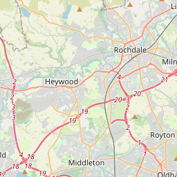

Leaflet Map data © OpenStreetMap
Images are licensed for reuse under creativecommons.org/licenses/by-sa/2.0
Notes
- Clicking on the map will re-center to the selected point.
- The higher the marker number, the further away the image location is from the centre of the postcode.
Image Listing (15 Images Found)
Images are licensed for reuse under creativecommons.org/licenses/by-sa/2.0
Image
Details
Distance

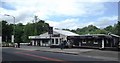
3
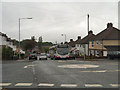
Sunny Bank Road
First Manchester Volvo B7RLE (reg MX55 FGU, fleet number 66923) approaches the mini roundabout near the shops on Sunny Bank Road.
Image: © David Dixon
Taken: 9 Jun 2012
0.10 miles
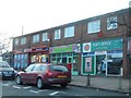
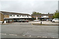
5
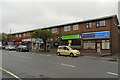
Sunnybank Shops
Row of shops on Sunny Bank Road.
Image: © David Dixon
Taken: 9 Jun 2012
0.13 miles

8
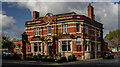
The Blue Bell
The Blue Bell public house on Bury New Road.
Image: © Peter McDermott
Taken: 23 Apr 2017
0.14 miles