IMAGES TAKEN NEAR TO
Grange Road, BURY, BL8 2PF
Introduction
This page details the photographs taken nearby to Grange Road, BL8 2PF by members of the Geograph project.
The Geograph project started in 2005 with the aim of publishing, organising and preserving representative images for every square kilometre of Great Britain, Ireland and the Isle of Man.

There are currently over 7.5m images from over14,400 individuals and you can help contribute to the project by visiting https://www.geograph.org.uk
Image Map
Images are licensed for reuse under creativecommons.org/licenses/by-sa/2.0
Notes
- Clicking on the map will re-center to the selected point.
- The higher the marker number, the further away the image location is from the centre of the postcode.
Image Listing (169 Images Found)
Images are licensed for reuse under creativecommons.org/licenses/by-sa/2.0
Image
Details
Distance
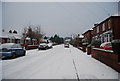
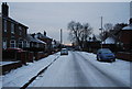
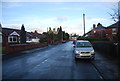
7
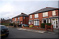
A pair of semi detached houses, Grange Rd
Image: © N Chadwick
Taken: 21 Mar 2009
0.02 miles
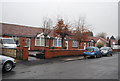
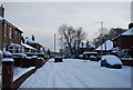
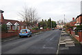
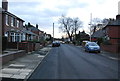
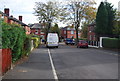
9
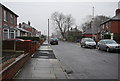
Grange Rd, Elton, Bury
Mixed suburban road in West Bury. this road as a very wide variety of housing types (semis, detached, cottages, bungalows etc of all shapes and sizes). The numbers are also very interesting being completely unsequential.
Image: © N Chadwick
Taken: 20 Dec 2008
0.02 miles