
IMAGES TAKEN NEAR TO
Craigwood Drive, FERNDOWN, BH22 8DP
Introduction
This page details the photographs taken nearby to Craigwood Drive, BH22 8DP by members of the Geograph project.
The Geograph project started in 2005 with the aim of publishing, organising and preserving representative images for every square kilometre of Great Britain, Ireland and the Isle of Man.

There are currently over 7.5m images from over14,400 individuals and you can help contribute to the project by visiting https://www.geograph.org.uk
Image Map
Images are licensed for reuse under creativecommons.org/licenses/by-sa/2.0
Notes
- Clicking on the map will re-center to the selected point.
- The higher the marker number, the further away the image location is from the centre of the postcode.
Image Listing (6 Images Found)
Images are licensed for reuse under creativecommons.org/licenses/by-sa/2.0
Image
Details
Distance
1
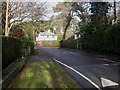
Ferndown, Golf Links Road
This road is typified by spacious detached houses.
Image: © Mike Faherty
Taken: 17 Jan 2010
0.08 miles
2
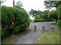
Ferndown: postbox № BH22 134, Carroll Avenue
Carroll Avenue is a private road (which is nevertheless a public footpath) comprising very desirable properties. Here, we look towards its cut-off end at Golf Links Road. The postbox is emptied at 5:15pm on weekdays and at 12:30pm on Saturdays.
Image: © Chris Downer
Taken: 9 Jun 2009
0.10 miles
3
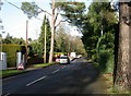
Ferndown, roadworks
Roadworks (on a Sunday!) in Golf Links Road, something to do with gas.
Image: © Mike Faherty
Taken: 17 Jan 2010
0.13 miles
4
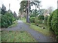
Ferndown, residential area
This is a public footpath which leads towards ferndown centre.
Image: © Stuart Buchan
Taken: 4 Dec 2005
0.15 miles
5
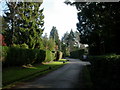
Ferndown, Carroll Avenue
Private road and right of way from Ringwood Road to Golf Links Road. Many houses have long secluded drives, and gardens are enclosed by high hedges.
Image: © Mike Faherty
Taken: 17 Jan 2010
0.20 miles
6
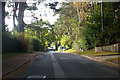
Golf Links Road, Ferndown
A great many humps and chicanes 'traffic calming' in this road.
Image: © Robin Webster
Taken: 3 Nov 2018
0.23 miles