
IMAGES TAKEN NEAR TO
Pilford Lane, WIMBORNE, BH21 7BD
Introduction
This page details the photographs taken nearby to Pilford Lane, BH21 7BD by members of the Geograph project.
The Geograph project started in 2005 with the aim of publishing, organising and preserving representative images for every square kilometre of Great Britain, Ireland and the Isle of Man.

There are currently over 7.5m images from over14,400 individuals and you can help contribute to the project by visiting https://www.geograph.org.uk
Image Map
Images are licensed for reuse under creativecommons.org/licenses/by-sa/2.0
Notes
- Clicking on the map will re-center to the selected point.
- The higher the marker number, the further away the image location is from the centre of the postcode.
Image Listing (6 Images Found)
Images are licensed for reuse under creativecommons.org/licenses/by-sa/2.0
Image
Details
Distance
1
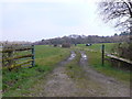
Farm Track
This track gives access to the pasture fields along side the woods of Bedborough Plantation whose trees can be seen in the background.
Image: © Nigel Mykura
Taken: 28 Mar 2013
0.07 miles
2
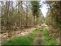
Woodland path, Cannon Hill Plantation
One of the many tracks and paths in the woodland used by walkers and horse riders.
Image: © Maigheach-gheal
Taken: 25 Mar 2011
0.13 miles
3
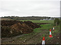
Uddens, muckheap
Off the road from Colehill to Bedborough.
Image: © Mike Faherty
Taken: 1 Apr 2011
0.15 miles
4
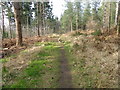
Path, Cannon Hill Plantation
One of the many paths and tracks used by walkers within the plantation.
Image: © Maigheach-gheal
Taken: 25 Mar 2011
0.16 miles
5
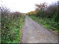
Footpath near Pilford Farm
The footpath takes walkers to Uddens Park.
Image: © Maigheach-gheal
Taken: 18 Nov 2009
0.21 miles
6
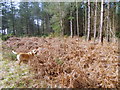
Bracken, Cannon Hill
Bracken in perhaps the best-known of the British ferns. It spreads as much by its rhizomes as its spores, especially on open heathland.
Image: © Maigheach-gheal
Taken: 25 Mar 2011
0.22 miles