
IMAGES TAKEN NEAR TO
Salterns Road, POOLE, BH14 8BJ
Introduction
This page details the photographs taken nearby to Salterns Road, BH14 8BJ by members of the Geograph project.
The Geograph project started in 2005 with the aim of publishing, organising and preserving representative images for every square kilometre of Great Britain, Ireland and the Isle of Man.

There are currently over 7.5m images from over14,400 individuals and you can help contribute to the project by visiting https://www.geograph.org.uk
Image Map
Images are licensed for reuse under creativecommons.org/licenses/by-sa/2.0
Notes
- Clicking on the map will re-center to the selected point.
- The higher the marker number, the further away the image location is from the centre of the postcode.
Image Listing (106 Images Found)
Images are licensed for reuse under creativecommons.org/licenses/by-sa/2.0
Image
Details
Distance
1
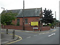
Lower Parkstone, Methodist Church
Salterns Road Methodist Church, at the junction of Salterns and Wessex Roads. The sign should, of course, read "Poole Methodists". A foundation stone is dated 1865. http://www.poolemethodists.org.uk/cms/index.php?view=article&catid=27%3Anews-archive&id=88%3Apoole-methodists-together&option=com_content&Itemid=97
Image: © Mike Faherty
Taken: 5 Sep 2009
0.02 miles
2
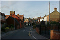
Salterns Road, Parkstone
Looking towards the very impressive library, complete with tower.
Image: © Peter Trimming
Taken: 22 Feb 2014
0.03 miles
3
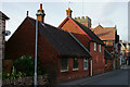
Salterns Road, Parkstone
Looking towards the very impressive library, complete with tower.
Image: © Peter Trimming
Taken: 22 Feb 2014
0.03 miles
4
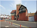
Parkstone Library
The library is in the old Fire Station.
Image: © mike smith
Taken: 1 Apr 2007
0.03 miles
5
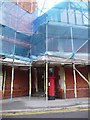
Parkstone: postbox № BH14 156, Britannia Road
This George V-reign postbox stands outside Parkstone Library, which occupies the acute-angled plot on the corner of Britannia and Salterns Roads and is currently shrouded in scaffolding and blue sheeting. The box is emptied finally at 5:30pm on weekdays and at 12:45pm on Saturdays.
Image: © Chris Downer
Taken: 10 Aug 2009
0.04 miles
6
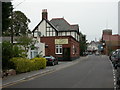
Parkstone, The Britannia
Pub and restaurant in Britannia Road. Internally, long bar with restaurant to the left and drinking areas to the right. Some good original glasswork, including one sign for "Tea Room". Cask ale on offer at my Visit: Ringwood Best. For some customer comments, see http://www.beerintheevening.com/pubs/s/27/2768/Britannia_Inn/Ashley_Cross
Image: © Mike Faherty
Taken: 18 Sep 2009
0.05 miles
7
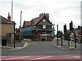
Lower Parkstone, library
At the junction of Salterns and Britannia Roads; a converted fire station, undergoing renovation, but still open for business. Note the tower, which is part of the premises. http://boroughofpoole.com/go.php?structureID=U464057c6c52db&ref=S464B0ADD0A2B8
Image: © Mike Faherty
Taken: 5 Sep 2009
0.06 miles
8
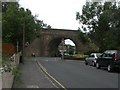
Lower Parkstone, railway bridge
Brick-built skew bridge carrying the Bournemouth-Poole railway line over Salterns Road.
Image: © Mike Faherty
Taken: 5 Sep 2009
0.06 miles
9
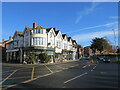
Ashley Cross, Lower Parkstone, Poole
A parade of shops at Ashley Cross in Lower Parkstone, a suburb of Poole. The road passing through Ashley Cross is the A35.
This image was taken on a December day. Although the sun was shining brightly, it was low in the sky and shadows were long. The temperature was not much above freezing.
Image: © Malc McDonald
Taken: 10 Dec 2022
0.07 miles
10
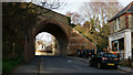
Salterns Road, Parkstone
Looking towards the bridge, which carries the mainline railway from Weymouth to London.
Image: © Peter Trimming
Taken: 22 Feb 2014
0.07 miles