
IMAGES TAKEN NEAR TO
Orchard Avenue, POOLE, BH14 8AH
Introduction
This page details the photographs taken nearby to Orchard Avenue, BH14 8AH by members of the Geograph project.
The Geograph project started in 2005 with the aim of publishing, organising and preserving representative images for every square kilometre of Great Britain, Ireland and the Isle of Man.

There are currently over 7.5m images from over14,400 individuals and you can help contribute to the project by visiting https://www.geograph.org.uk
Image Map
Images are licensed for reuse under creativecommons.org/licenses/by-sa/2.0
Notes
- Clicking on the map will re-center to the selected point.
- The higher the marker number, the further away the image location is from the centre of the postcode.
Image Listing (46 Images Found)
Images are licensed for reuse under creativecommons.org/licenses/by-sa/2.0
Image
Details
Distance
2
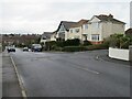
Sherwood Avenue, Poole
Sherwood Avenue is a residential road in Poole, in Dorset.
Image: © Malc McDonald
Taken: 6 Feb 2022
0.07 miles
3
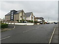
Sherwood Avenue, Poole
Sherwood Avenue is a residential road in Poole. The two houses nearest the camera are recently-built, replacing two smaller houses which previously occupied the plots of land.
Image: © Malc McDonald
Taken: 6 Feb 2022
0.07 miles
4
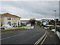
Sherwood Avenue, Poole
Sherwood Avenue is a residential road in Poole. Poole Harbour is visible in the background.
This image was taken on a dull and damp February day.
Image: © Malc McDonald
Taken: 6 Feb 2022
0.07 miles
5
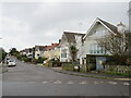
Arley Road, Poole
Arley Road is a residential road in Poole.
Image: © Malc McDonald
Taken: 6 Feb 2022
0.10 miles
6
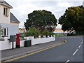
Poole: postbox № BH14 160, Sherwood Avenue
This Elizabeth II-postbox is emptied finally at 5:30pm on weekdays and at 11:45am on Saturdays. Beyond it, we look across Whitecliff Road towards Parkstone Bay.
Image: © Chris Downer
Taken: 5 Aug 2009
0.11 miles
7
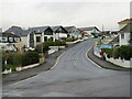
Sherwood Avenue, Poole
Sherwood Avenue is a residential road in Poole.
Image: © Malc McDonald
Taken: 6 Feb 2022
0.11 miles
8
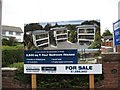
New Houses
On the site of these new houses in 1937 was a chaufeur's flat, over the garage belonging to Whitecliff House Image The steep drive allows a good view across Poole Harbour and its boats of all sizes Image
Image: © John Palmer
Taken: 9 Sep 2009
0.12 miles
9
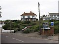
Whitecliff House 2009
Whitecliff House has a marvellous view across Poole Harbour onto Brownses Island. More houses have been built nearby since 1937 Image
Image: © John Palmer
Taken: 9 Sep 2009
0.13 miles
10
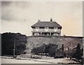
Whitecliff House 1937
In 1936 the Richardson family moved into Whitecliff House, with 6 children. There was a spectacular view across Poole Harbour, and the water of Parkstone Bay reached Whitecliff Road in the foreground. During the War, Sunderland aircraft were moored near Brownsea Island, and Poole Harbour was used as a landmark by German bombers on their nightly raids inland. The House is still there 70 years later Image
Image: © Margaret Ellen RICHARDSON
Taken: Unknown
0.14 miles