
IMAGES TAKEN NEAR TO
Springfield Road, POOLE, BH14 0DU
Introduction
This page details the photographs taken nearby to Springfield Road, BH14 0DU by members of the Geograph project.
The Geograph project started in 2005 with the aim of publishing, organising and preserving representative images for every square kilometre of Great Britain, Ireland and the Isle of Man.

There are currently over 7.5m images from over14,400 individuals and you can help contribute to the project by visiting https://www.geograph.org.uk
Image Map
Images are licensed for reuse under creativecommons.org/licenses/by-sa/2.0
Notes
- Clicking on the map will re-center to the selected point.
- The higher the marker number, the further away the image location is from the centre of the postcode.
Image Listing (70 Images Found)
Images are licensed for reuse under creativecommons.org/licenses/by-sa/2.0
Image
Details
Distance
1
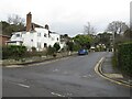
Springfield Crescent, Parkstone
Springfield Crescent is a residential road in Parkstone, a suburb of Poole.
Image: © Malc McDonald
Taken: 6 Feb 2022
0.03 miles
2
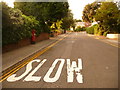
Parkstone: postbox № BH14 55, Springfield Road
A George V-reign postbox, emptied finally at 5:30pm on weekdays and at 11:30am on Saturdays. In the distance we see the turning of Springfield Crescent, which also comes out further down the hill, behind us.
Image: © Chris Downer
Taken: 9 Aug 2009
0.03 miles
3
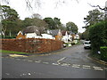
Cherry Close, Parkstone
Cherry Close is a residential cul-de-sac in Parkstone, a suburb of Poole.
Image: © Malc McDonald
Taken: 6 Feb 2022
0.03 miles
4
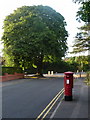
Parkstone: postbox № BH14 172, St. Peter?s Road
This George V-reign postbox is emptied finally at 5:30pm on weekdays and at 11:30am on Saturdays; to the back is attached a drop box (see below). Behind it, we see a rather splendid horse chestnut at the junction of North Road.
Image: © Chris Downer
Taken: 5 Aug 2009
0.12 miles
5
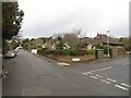
Springfield Road, Parkstone
Springfield Road is a residential road in Parkstone, a suburb of Poole.
Image: © Malc McDonald
Taken: 6 Feb 2022
0.13 miles
6
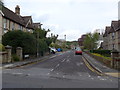
Looking from Church Road into Charmouth Grove
Image: © Basher Eyre
Taken: 22 Apr 2014
0.15 miles
7
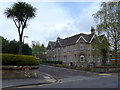
Junction of Church Road and Charmouth Grove
Image: © Basher Eyre
Taken: 22 Apr 2014
0.15 miles
8
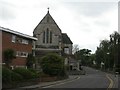
Lower Parkstone, St. Peter's Church
Massive, gaunt parish church at the junction of St. Peter's and Church Roads. http://www.nigel.lloyd.dsl.pipex.com/page80.html
Image: © Mike Faherty
Taken: 5 Sep 2009
0.15 miles
10
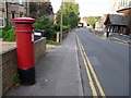
Parkstone: postbox № BH14 13, Church Road
This Victorian postbox faces the Image and receives its final collection at 5:30pm on weekdays and at 11:30am on Saturdays.
Image: © Chris Downer
Taken: 5 Aug 2009
0.16 miles