
IMAGES TAKEN NEAR TO
Dornie Road, POOLE, BH13 7NL
Introduction
This page details the photographs taken nearby to Dornie Road, BH13 7NL by members of the Geograph project.
The Geograph project started in 2005 with the aim of publishing, organising and preserving representative images for every square kilometre of Great Britain, Ireland and the Isle of Man.

There are currently over 7.5m images from over14,400 individuals and you can help contribute to the project by visiting https://www.geograph.org.uk
Image Map
Images are licensed for reuse under creativecommons.org/licenses/by-sa/2.0
Notes
- Clicking on the map will re-center to the selected point.
- The higher the marker number, the further away the image location is from the centre of the postcode.
Image Listing (23 Images Found)
Images are licensed for reuse under creativecommons.org/licenses/by-sa/2.0
Image
Details
Distance
1
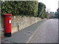
Canford Cliffs: postbox № BH13 317, Brudenell Avenue
This George VI-reign postbox is emptied finally at 5:30 on weekdays and at 11:45am on Saturdays.
Image: © Chris Downer
Taken: 10 Jan 2009
0.10 miles
2
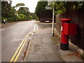
Canford Cliffs: postbox № BH13 196, Haven Road
This George V-reign postbox is emptied finally, like most of its near neighbours, at 5:30pm on weekdays and at 11:45am on Saturdays. To the right is the southern turning of Canford Crescent.
Image: © Chris Downer
Taken: 3 Aug 2009
0.18 miles
3
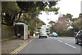
Haven Road (opp St Annes Hospital) bus stop
The official title on the shelter.
Image: © Robin Webster
Taken: 1 Apr 2018
0.18 miles
4
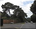
Junction of Haven Road and Chaddesley Pines
Chaddesley Pines leads to St Ann's hospital, a psychiatric hospital surrounded by pine trees
Image: © David Smith
Taken: 30 Mar 2017
0.18 miles
5
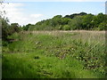
Luscombe Valley, bog
Bog around the drain from Parkstone golf course in the nature reserve. http://www.boroughofpoole.com/facilities/ref:F465e9bc766491/
Image: © Mike Faherty
Taken: 28 May 2009
0.18 miles
6
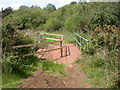
Luscombe Valley, bridge
Simple bridge of steel sheets over the drain in the nature reserve; the Southern side has been cordoned off, as the steel appears to be corroding. http://www.boroughofpoole.com/facilities/ref:F465e9bc766491/
Image: © Mike Faherty
Taken: 28 May 2009
0.18 miles
7
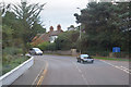
Poole : Haven Road B3065
Looking along Haven Road in Poole.
Image: © Lewis Clarke
Taken: 28 Oct 2017
0.19 miles
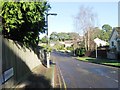
9
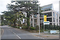
Poole : Haven Road B3065
Looking along Haven Road with some apartments on the right.
Image: © Lewis Clarke
Taken: 28 Oct 2017
0.20 miles
10

The Water Garden, Compton Acres
Beautiful gardens near Canford Cliffs
Image: © DAVID M GOODWIN
Taken: 1 Jun 2008
0.20 miles