IMAGES TAKEN NEAR TO
Heights Lane, BRADFORD, BD9 6DP
Introduction
This page details the photographs taken nearby to Heights Lane, BD9 6DP by members of the Geograph project.
The Geograph project started in 2005 with the aim of publishing, organising and preserving representative images for every square kilometre of Great Britain, Ireland and the Isle of Man.

There are currently over 7.5m images from over14,400 individuals and you can help contribute to the project by visiting https://www.geograph.org.uk
Image Map
Images are licensed for reuse under creativecommons.org/licenses/by-sa/2.0
Notes
- Clicking on the map will re-center to the selected point.
- The higher the marker number, the further away the image location is from the centre of the postcode.
Image Listing (73 Images Found)
Images are licensed for reuse under creativecommons.org/licenses/by-sa/2.0
Image
Details
Distance
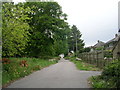
1
Duchy Court, Lynfield Mount hospital complex, Bradford
Image: © Steve Fareham
Taken: 16 Jan 2010
0.04 miles
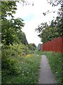
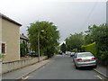
2
Entrance to Lynfield Mount Hospital - Daisy Hill Lane
Image: © Betty Longbottom
Taken: 4 Jun 2011
0.07 miles
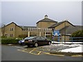
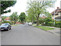
4
Bootham Park - viewed from Sowden Road
Image: © Betty Longbottom
Taken: 29 May 2012
0.09 miles
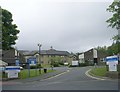
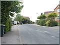
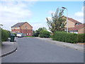
5
Sowden Road - viewed from Bootham Park
Image: © Betty Longbottom
Taken: 29 May 2012
0.09 miles
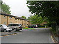
8
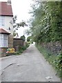
Sunny Brow Lane - viewed from Portwood Street
Image: © Betty Longbottom
Taken: 29 May 2012
0.10 miles