IMAGES TAKEN NEAR TO
Campus Road, Listerhills Science Park, BRADFORD, BD7 1HR
Introduction
This page details the photographs taken nearby to Campus Road, Listerhills Science Park, BD7 1HR by members of the Geograph project.
The Geograph project started in 2005 with the aim of publishing, organising and preserving representative images for every square kilometre of Great Britain, Ireland and the Isle of Man.

There are currently over 7.5m images from over14,400 individuals and you can help contribute to the project by visiting https://www.geograph.org.uk
Image Map
Images are licensed for reuse under creativecommons.org/licenses/by-sa/2.0
Notes
- Clicking on the map will re-center to the selected point.
- The higher the marker number, the further away the image location is from the centre of the postcode.
Image Listing (99 Images Found)
Images are licensed for reuse under creativecommons.org/licenses/by-sa/2.0
Image
Details
Distance
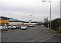
1
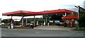
Total Petrol Station - Listerhills Road
Image: © Betty Longbottom
Taken: 29 May 2007
0.03 miles
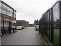
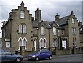
3
Inter-Faith Education Centre - Listerhills Road
Image: © Betty Longbottom
Taken: 29 May 2007
0.05 miles
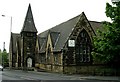
4
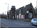
Interfaith Education Centre, derelict
Image: © Alex McGregor
Taken: 29 Nov 2011
0.06 miles
5
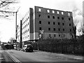
New Luxury Accommodation for Students - University of Bradford - Longside Lane
Image: © Betty Longbottom
Taken: 23 Mar 2008
0.07 miles
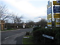
6
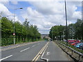
Longside Lane - off Shearbridge Road
Image: © Betty Longbottom
Taken: 13 Jul 2011
0.07 miles
7
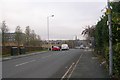
Shearbridge Road - Listerhills Road
Image: © Betty Longbottom
Taken: 23 Dec 2008
0.07 miles
9
Fieldhead Street - Archibald Street
Image: © Betty Longbottom
Taken: 23 Dec 2008
0.08 miles