IMAGES TAKEN NEAR TO
Hill Top Walk, KEIGHLEY, BD22 6HR
Introduction
This page details the photographs taken nearby to Hill Top Walk, BD22 6HR by members of the Geograph project.
The Geograph project started in 2005 with the aim of publishing, organising and preserving representative images for every square kilometre of Great Britain, Ireland and the Isle of Man.

There are currently over 7.5m images from over14,400 individuals and you can help contribute to the project by visiting https://www.geograph.org.uk
Image Map (Loading...)


Getting Data...Please wait
Leaflet Map data © OpenStreetMap
Images are licensed for reuse under creativecommons.org/licenses/by-sa/2.0
Notes
- Clicking on the map will re-center to the selected point.
- The higher the marker number, the further away the image location is from the centre of the postcode.
Image Listing (75 Images Found)
Images are licensed for reuse under creativecommons.org/licenses/by-sa/2.0
Image
Details
Distance
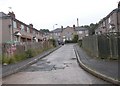
2
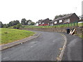
Whinfield Avenue - Braithwaite Avenue
Image: © Betty Longbottom
Taken: 6 Jul 2015
0.05 miles
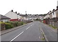
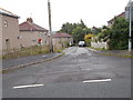
3
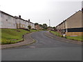
Braithwaite Drive - Braithwaite Avenue
Image: © Betty Longbottom
Taken: 6 Jul 2015
0.05 miles
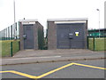
5
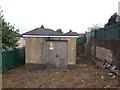
Electricity Substation No 512 - Coronation Way
Image: © Betty Longbottom
Taken: 6 Jul 2015
0.06 miles
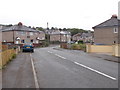
7
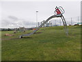
Eagle's Nest Play Area - Braithwaite Avenue
Image: © Betty Longbottom
Taken: 6 Jul 2015
0.08 miles
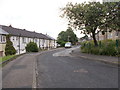
9
Braithwaite Way - Braithwaite Avenue
Image: © Betty Longbottom
Taken: 6 Jul 2015
0.09 miles
10
Electricity Substation No 49687 - Braithwaite Avenue
Image: © Betty Longbottom
Taken: 6 Jul 2015
0.09 miles