IMAGES TAKEN NEAR TO
Braithwaite Crescent, KEIGHLEY, BD22 6EX
Introduction
This page details the photographs taken nearby to Braithwaite Crescent, BD22 6EX by members of the Geograph project.
The Geograph project started in 2005 with the aim of publishing, organising and preserving representative images for every square kilometre of Great Britain, Ireland and the Isle of Man.

There are currently over 7.5m images from over14,400 individuals and you can help contribute to the project by visiting https://www.geograph.org.uk
Image Map (Loading...)


Getting Data...Please wait
Leaflet Map data © OpenStreetMap
Images are licensed for reuse under creativecommons.org/licenses/by-sa/2.0
Notes
- Clicking on the map will re-center to the selected point.
- The higher the marker number, the further away the image location is from the centre of the postcode.
Image Listing (76 Images Found)
Images are licensed for reuse under creativecommons.org/licenses/by-sa/2.0
Image
Details
Distance
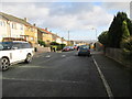
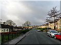
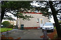
1
Braithwaite Crescent - Coronation Mount
Image: © Betty Longbottom
Taken: 6 Jul 2015
0.03 miles
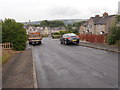
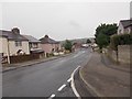
2
Coronation Mount - viewed from Coronation Way
Image: © Betty Longbottom
Taken: 6 Jul 2015
0.04 miles
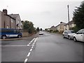
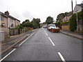
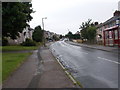
4
Braithwaite Avenue
Road that runs from West Lane to Guard House - areas on the western side of Keighley.
Image: © Chris Heaton
Taken: 31 Jan 2013
0.05 miles
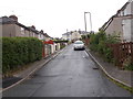
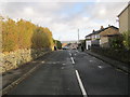
5
Coronation Mount - viewed from Coronation Way
Image: © Betty Longbottom
Taken: 6 Jul 2015
0.06 miles
8
#292 West Lane
There is an OS benchmark Image on bricks right of the wheelie bin
Image: © Roger Templeman
Taken: 21 Nov 2017
0.07 miles
9
Coronation Mount - Braithwaite Avenue
Image: © Betty Longbottom
Taken: 6 Jul 2015
0.07 miles