IMAGES TAKEN NEAR TO
Nursery Close, KEIGHLEY, BD20 6DF
Introduction
This page details the photographs taken nearby to Nursery Close, BD20 6DF by members of the Geograph project.
The Geograph project started in 2005 with the aim of publishing, organising and preserving representative images for every square kilometre of Great Britain, Ireland and the Isle of Man.

There are currently over 7.5m images from over14,400 individuals and you can help contribute to the project by visiting https://www.geograph.org.uk
Image Map
Images are licensed for reuse under creativecommons.org/licenses/by-sa/2.0
Notes
- Clicking on the map will re-center to the selected point.
- The higher the marker number, the further away the image location is from the centre of the postcode.
Image Listing (46 Images Found)
Images are licensed for reuse under creativecommons.org/licenses/by-sa/2.0
Image
Details
Distance


5

The Fairways - end of St John's Road
Image: © Betty Longbottom
Taken: 13 Jan 2015
0.07 miles
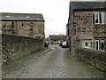
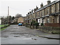
6
A very damp looking Parkers Lane, Utley!
Image: © Betty Longbottom
Taken: 14 Oct 2008
0.07 miles
7
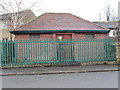
Electricity Substation No 23 - Birchwood Road
Image: © Betty Longbottom
Taken: 13 Jan 2015
0.07 miles


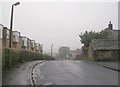
10
Aireville Street - St John's Road
Image: © Betty Longbottom
Taken: 13 Jan 2015
0.08 miles