IMAGES TAKEN NEAR TO
Craven Lane, CLECKHEATON, BD19 4QU
Introduction
This page details the photographs taken nearby to Craven Lane, BD19 4QU by members of the Geograph project.
The Geograph project started in 2005 with the aim of publishing, organising and preserving representative images for every square kilometre of Great Britain, Ireland and the Isle of Man.

There are currently over 7.5m images from over14,400 individuals and you can help contribute to the project by visiting https://www.geograph.org.uk
Image Map
Images are licensed for reuse under creativecommons.org/licenses/by-sa/2.0
Notes
- Clicking on the map will re-center to the selected point.
- The higher the marker number, the further away the image location is from the centre of the postcode.
Image Listing (62 Images Found)
Images are licensed for reuse under creativecommons.org/licenses/by-sa/2.0
Image
Details
Distance
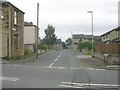
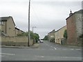
3
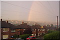
Craven Close looking towards Birstall
Rainbow over Birstall and towards Drighlington viewed from Hill Top - Gomersal.
Image: © Chris-Bel
Taken: 31 Aug 2005
0.09 miles
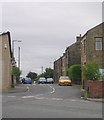

7
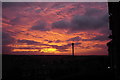
Sunset over Birstall from Hill Top Gomersal
Autumn sunset from Craven Close view towards Birstall down Church Lane
Image: © Chris-Bel
Taken: 4 Sep 2006
0.10 miles
10
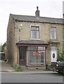
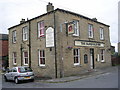
G H Senior & Co Accountants - Oxford Road
Image: © Betty Longbottom
Taken: 31 Jul 2010
0.11 miles