IMAGES TAKEN NEAR TO
School Ridge, Upper Heights Road, BRADFORD, BD13 3RW
Introduction
This page details the photographs taken nearby to School Ridge, Upper Heights Road, BD13 3RW by members of the Geograph project.
The Geograph project started in 2005 with the aim of publishing, organising and preserving representative images for every square kilometre of Great Britain, Ireland and the Isle of Man.

There are currently over 7.5m images from over14,400 individuals and you can help contribute to the project by visiting https://www.geograph.org.uk
Image Map (Loading...)


Getting Data...Please wait
Leaflet Map data © OpenStreetMap
Images are licensed for reuse under creativecommons.org/licenses/by-sa/2.0
Notes
- Clicking on the map will re-center to the selected point.
- The higher the marker number, the further away the image location is from the centre of the postcode.
Image Listing (42 Images Found)
Images are licensed for reuse under creativecommons.org/licenses/by-sa/2.0
Image
Details
Distance
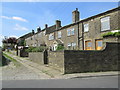
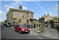
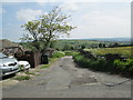
2
Packington Street - Upper Heights Road
Image: © Betty Longbottom
Taken: 8 Jun 2013
0.02 miles
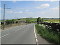
3
Upper Heights Lane near Back Heights
Looking north-westward.
Image: © Peter Wood
Taken: 5 Aug 2017
0.02 miles
6
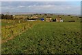
Thornton Heights
Semi rural scene to the north west of Thornton, near Bradford
Image: © Chris Heaton
Taken: 22 Dec 2016
0.06 miles
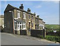
8
Upper Heights Road - viewed from Rock Lane
Image: © Betty Longbottom
Taken: 8 Jun 2013
0.08 miles
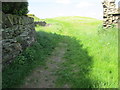
9
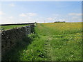
Footpath - Hogg End - Lower Heights Road
Image: © Betty Longbottom
Taken: 8 Jun 2013
0.10 miles
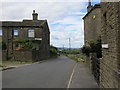
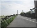
10
Rock Lane - viewed from Upper Heights Road
Image: © Betty Longbottom
Taken: 8 Jun 2013
0.10 miles