
IMAGES TAKEN NEAR TO
Lower Clough Street, NELSON, BB9 8PQ
Introduction
This page details the photographs taken nearby to Lower Clough Street, BB9 8PQ by members of the Geograph project.
The Geograph project started in 2005 with the aim of publishing, organising and preserving representative images for every square kilometre of Great Britain, Ireland and the Isle of Man.

There are currently over 7.5m images from over14,400 individuals and you can help contribute to the project by visiting https://www.geograph.org.uk
Image Map
Images are licensed for reuse under creativecommons.org/licenses/by-sa/2.0
Notes
- Clicking on the map will re-center to the selected point.
- The higher the marker number, the further away the image location is from the centre of the postcode.
Image Listing (47 Images Found)
Images are licensed for reuse under creativecommons.org/licenses/by-sa/2.0
Image
Details
Distance
1
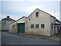
"Ultimate Car Valeting" Lower Clough Street, Barrowford
Image: © Alexander P Kapp
Taken: 14 Feb 2008
0.01 miles
2
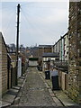
Back street off Maud Street, Barrowford
Image: © Alexander P Kapp
Taken: 14 Feb 2008
0.02 miles
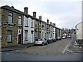
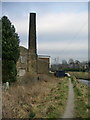
5
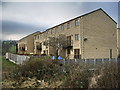
Lower Clough Fold
New development which backs on to Pendle Water
Image: © Alexander P Kapp
Taken: 14 Feb 2008
0.04 miles
6
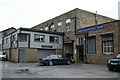
Barrowford Lower Clough Mill
Now subdivided and used as a business centre
Image: © Dr Neil Clifton
Taken: 7 Jul 2017
0.06 miles
7
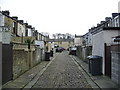
Back street off Maud Street, Barrowford
Image: © Alexander P Kapp
Taken: 14 Feb 2008
0.07 miles
8
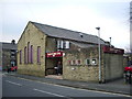
Civic Hall, Maud Street, Barrowford
http://www.pendlelife.co.uk/roundabout/opencms/pendle_leisure_trust/CivicHalls/barrowfordcivicindex.html
Image: © Alexander P Kapp
Taken: 14 Feb 2008
0.07 miles
9
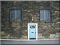
Lower Clough Mill, Doorway
Door with a fancy frame, also it was only about 5ft 6in high, designed for the shorter person
Image: © Alexander P Kapp
Taken: 14 Feb 2008
0.07 miles
10
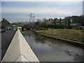
Pendle Water
The wall is part of the new flood defences to protect the houses of Calder Vale and the surrounding area.
Image: © Alexander P Kapp
Taken: 14 Feb 2008
0.07 miles