
IMAGES TAKEN NEAR TO
Joseph Street, NELSON, BB9 8PD
Introduction
This page details the photographs taken nearby to Joseph Street, BB9 8PD by members of the Geograph project.
The Geograph project started in 2005 with the aim of publishing, organising and preserving representative images for every square kilometre of Great Britain, Ireland and the Isle of Man.

There are currently over 7.5m images from over14,400 individuals and you can help contribute to the project by visiting https://www.geograph.org.uk
Image Map
Images are licensed for reuse under creativecommons.org/licenses/by-sa/2.0
Notes
- Clicking on the map will re-center to the selected point.
- The higher the marker number, the further away the image location is from the centre of the postcode.
Image Listing (54 Images Found)
Images are licensed for reuse under creativecommons.org/licenses/by-sa/2.0
Image
Details
Distance
2
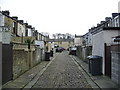
Back street off Maud Street, Barrowford
Image: © Alexander P Kapp
Taken: 14 Feb 2008
0.03 miles
4
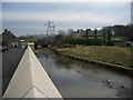
Pendle Water
The wall is part of the new flood defences to protect the houses of Calder Vale and the surrounding area.
Image: © Alexander P Kapp
Taken: 14 Feb 2008
0.04 miles
5
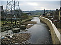
Pendle Water
Looking down stream from Reedyford Bridge
Image: © Alexander P Kapp
Taken: 14 Feb 2008
0.04 miles
6
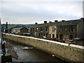
Pendle Water
The first row of houses is on Sandy Lane and the second one is Calder Vale both protected from flooding by the new wall
Image: © Alexander P Kapp
Taken: 14 Feb 2008
0.04 miles
7
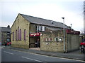
Civic Hall, Maud Street, Barrowford
http://www.pendlelife.co.uk/roundabout/opencms/pendle_leisure_trust/CivicHalls/barrowfordcivicindex.html
Image: © Alexander P Kapp
Taken: 14 Feb 2008
0.05 miles
8
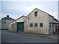
"Ultimate Car Valeting" Lower Clough Street, Barrowford
Image: © Alexander P Kapp
Taken: 14 Feb 2008
0.05 miles
9
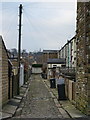
Back street off Maud Street, Barrowford
Image: © Alexander P Kapp
Taken: 14 Feb 2008
0.06 miles
10

Northwest parapet of Reddyford Bridge
There is a parish boundary marker Image on the parapet beyond which are the houses of Sandy Lane. The bridge carries the A682 over Pendle Water
Image: © Roger Templeman
Taken: 9 Apr 2025
0.06 miles