
IMAGES TAKEN NEAR TO
Reedyford Road, NELSON, BB9 8LW
Introduction
This page details the photographs taken nearby to Reedyford Road, BB9 8LW by members of the Geograph project.
The Geograph project started in 2005 with the aim of publishing, organising and preserving representative images for every square kilometre of Great Britain, Ireland and the Isle of Man.

There are currently over 7.5m images from over14,400 individuals and you can help contribute to the project by visiting https://www.geograph.org.uk
Image Map
Images are licensed for reuse under creativecommons.org/licenses/by-sa/2.0
Notes
- Clicking on the map will re-center to the selected point.
- The higher the marker number, the further away the image location is from the centre of the postcode.
Image Listing (33 Images Found)
Images are licensed for reuse under creativecommons.org/licenses/by-sa/2.0
Image
Details
Distance
1
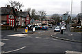
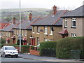
Nelson: Reedyford Road
Looking west from its crossroads with Regent Street. Reedyford Road is part of the A6068, and in this direction gives access to the M65 as well as to Barrowford.
Image: © Dr Neil Clifton
Taken: 17 Mar 2010
0.02 miles
2
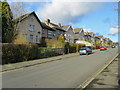
Charles Street, Nelson
Leading off Reedyford Road.
Image: © Chris Heaton
Taken: 18 Jan 2011
0.09 miles
3
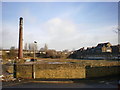
Roughly three years on
Not much change has happened between January 2006 and January 2009 http://www.geograph.org.uk/photo/103807#form the piles of crushed brick and the wrought iron gates have disappeared
Image: © Alexander P Kapp
Taken: 28 Jan 2009
0.09 miles
4
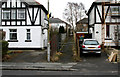
Nelson: Passage between 100 and 102, Regent Street
This passage gives access to Thursby Road.
Image: © Dr Neil Clifton
Taken: 17 Mar 2010
0.11 miles
6
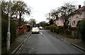
Nelson: Thursby Road
This narrow road runs northeast from a T-junction with Reedyford Road, to meet Rakes House Road in another T-junction.
Image: © Dr Neil Clifton
Taken: 17 Mar 2010
0.13 miles
7
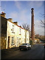
Terrace on Elizabeth Street
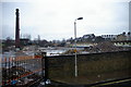
Of the four houses, three are bricked up and the last one is waiting for? The chimney is all of what remains of Riverside Mill (Bradley Shed)
Image: © Alexander P Kapp
Taken: 28 Jan 2009
0.14 miles
9
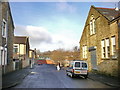
Riverside Mill
The remains of part of Britain's greatness, the chimney is now used as mobile phone mast, the interior whitewash paint on the mill wall, makes an interesting pattern. Some way along the line the mill must have had a name change, behind all the antenna etc is the original name which was BRADLEY SHED
Image: © Alexander P Kapp
Taken: 10 Jan 2006
0.14 miles
10
Nelson: Cumberland Street
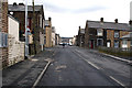
This is a side street off Reedyford Road on the south side. After crossing some other small streets it runs into Bankhouse Road.
Image: © Dr Neil Clifton
Taken: 17 Mar 2010
0.15 miles