
IMAGES TAKEN NEAR TO
Meadow Edge, NELSON, BB9 6BT
Introduction
This page details the photographs taken nearby to Meadow Edge, BB9 6BT by members of the Geograph project.
The Geograph project started in 2005 with the aim of publishing, organising and preserving representative images for every square kilometre of Great Britain, Ireland and the Isle of Man.

There are currently over 7.5m images from over14,400 individuals and you can help contribute to the project by visiting https://www.geograph.org.uk
Image Map
Images are licensed for reuse under creativecommons.org/licenses/by-sa/2.0
Notes
- Clicking on the map will re-center to the selected point.
- The higher the marker number, the further away the image location is from the centre of the postcode.
Image Listing (51 Images Found)
Images are licensed for reuse under creativecommons.org/licenses/by-sa/2.0
Image
Details
Distance
1
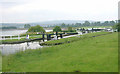
Barrowford Locks
Barrowford Locks on the Leeds and Liverpool Canal, looking south, with Barrowford Reservoir on the left.
Image: © Martin Clark
Taken: Unknown
0.08 miles
2
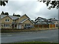
Caspers Fold, Francis Avenue, Higherford
The house bears a datestone of 2000.
Image: © Stephen Craven
Taken: 23 Aug 2022
0.08 miles
4
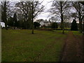
Public open space in Barrowford
At the junction of the Gisburn and Barnoldswick roads.
Image: © John H Darch
Taken: 21 Mar 2010
0.12 miles
5
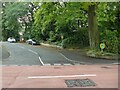
Defibrillator on the corner of Francis Avenue
These devices are normally found on the wall of public buildings, but here is one on a post by the street in an area of housing.
Image: © Stephen Craven
Taken: 23 Aug 2022
0.13 miles
7
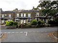
Terraced Housing on Gisburn Road, Higherford
Approaching Gisburn Road from Whittycroft Avenue in Higherford.
Image: © Chris Heaton
Taken: 9 Oct 2012
0.14 miles
8
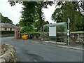
Bus shelter and old phone box
Located at the junction of Barnoldswick Road and Gisburn Road in Higherford. The phone box appears disused. Street furniture here also includes a grit bin and litter bin.
Image: © Stephen Craven
Taken: 23 Aug 2022
0.15 miles
9

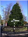
Direction Sign – Signpost in Higherford
Located in Higherford at the south end of the Y junction of the A682 Gisburn Road and Barnoldswick Road in Barrowford parish. 3 arms and cup & bell finial. See also https://www.geograph.org.uk/photo/6049312.
Milestone Society National ID: LA_SD8640
Image: © C Leather
Taken: 22 Jul 2026
0.15 miles
10
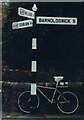
Direction Sign ? Signpost in Higherford
Located in Higherford at the south end of the Y junction of the A682 Gisburn Road and Barnoldswick Road in Barrowford parish. 3 arms and cup & bell finial.
Milestone Society National ID: LA_SD8640
Image: © D Armstrong
Taken: Unknown
0.15 miles