
IMAGES TAKEN NEAR TO
Burnley Road, COLNE, BB8 8JN
Introduction
This page details the photographs taken nearby to Burnley Road, BB8 8JN by members of the Geograph project.
The Geograph project started in 2005 with the aim of publishing, organising and preserving representative images for every square kilometre of Great Britain, Ireland and the Isle of Man.

There are currently over 7.5m images from over14,400 individuals and you can help contribute to the project by visiting https://www.geograph.org.uk
Image Map
Images are licensed for reuse under creativecommons.org/licenses/by-sa/2.0
Notes
- Clicking on the map will re-center to the selected point.
- The higher the marker number, the further away the image location is from the centre of the postcode.
Image Listing (35 Images Found)
Images are licensed for reuse under creativecommons.org/licenses/by-sa/2.0
Image
Details
Distance
1
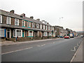
The Skipton road
This road was formerly a main route from Manchester to Yorkshire before the nearby M65 motorway was built.
Image: © Dennis Turner
Taken: 9 Dec 2005
0.05 miles
4
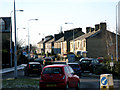
Colne: Burnley Road
Taken with a long lens, looking southwest, we see the roundabout at the end of Whitewalls Drive, a dual-carriageway which links to the M65 motorway.
Image: © Dr Neil Clifton
Taken: 11 Feb 2010
0.09 miles
5
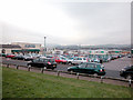
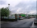
Out of Town Shopping
Factory outlet http://www.boundarymill.co.uk/V3/home.html and superstore on the outskirts of Colne. In the distance, left of centre of the picture, is Pendle Hill Image
Image: © Dennis Turner
Taken: 9 Dec 2005
0.11 miles
6
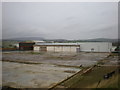
This was Boundary Mill
And this is the new store http://www.geograph.org.uk/photo/1201164
Image: © Alexander P Kapp
Taken: 12 Nov 2009
0.13 miles

9
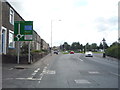
Burnley Road (A56)
Approaching roundabout - looking south west.
Image: © JThomas
Taken: 2 Aug 2018
0.16 miles
10
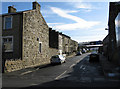
Colne: Gill Street
This short cul-de-sac is off the south side of Burnley Road, and is the second street west from Trinity Church.
Image: © Dr Neil Clifton
Taken: 11 Feb 2010
0.18 miles