
IMAGES TAKEN NEAR TO
Wesley Street, CLITHEROE, BB7 9EN
Introduction
This page details the photographs taken nearby to Wesley Street, BB7 9EN by members of the Geograph project.
The Geograph project started in 2005 with the aim of publishing, organising and preserving representative images for every square kilometre of Great Britain, Ireland and the Isle of Man.

There are currently over 7.5m images from over14,400 individuals and you can help contribute to the project by visiting https://www.geograph.org.uk
Image Map
Images are licensed for reuse under creativecommons.org/licenses/by-sa/2.0
Notes
- Clicking on the map will re-center to the selected point.
- The higher the marker number, the further away the image location is from the centre of the postcode.
Image Listing (16 Images Found)
Images are licensed for reuse under creativecommons.org/licenses/by-sa/2.0
Image
Details
Distance
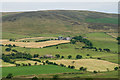
2

Ratten Clough
Approaching the farm by Ratten Clough at the base of the southern flanks of Pendle Hill.
Image: © Chris Heaton
Taken: 9 Jan 2014
0.02 miles
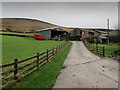
5
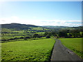
Sabden Valley
Taken from just below Ratten Clough Farm, this is looking towards Whalley (off shot, to the right) and Read (beyond the hill to the left) with Sabden immediately below.
Image: © Carroll Pierce
Taken: 4 Nov 2013
0.07 miles
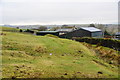
7
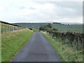
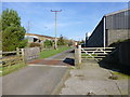
Track to Stainscomb
Used by a bridleway east of Ratten Clough and approaching a cattle grid
Image: © Kevin Waterhouse
Taken: 10 Sep 2024
0.10 miles
8
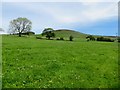
Grassland above Sabden
Near Ratten Clough.
Image: © philandju
Taken: 6 Jun 2014
0.11 miles
9
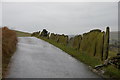
Stone Slab Wall
To be found on the road between Ratten Clough and Staincomb
Image: © Alexander P Kapp
Taken: 9 Mar 2006
0.13 miles
10
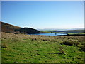
Churn Clough Reservoir
Taken from the path leading up from Clitheroe Road above Sabden, Lancashire, as it passes round the top of Calf Hill.
Image: © Carroll Pierce
Taken: 7 Nov 2013
0.16 miles