
IMAGES TAKEN NEAR TO
Slaidburn, CLITHEROE, BB7 4TR
Introduction
This page details the photographs taken nearby to BB7 4TR by members of the Geograph project.
The Geograph project started in 2005 with the aim of publishing, organising and preserving representative images for every square kilometre of Great Britain, Ireland and the Isle of Man.

There are currently over 7.5m images from over14,400 individuals and you can help contribute to the project by visiting https://www.geograph.org.uk
Image Map
Images are licensed for reuse under creativecommons.org/licenses/by-sa/2.0
Notes
- Clicking on the map will re-center to the selected point.
- The higher the marker number, the further away the image location is from the centre of the postcode.
Image Listing (15 Images Found)
Images are licensed for reuse under creativecommons.org/licenses/by-sa/2.0
Image
Details
Distance
1
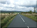
B6478 heading north east
Towards Wigglesworth.
Image: © JThomas
Taken: 1 Oct 2016
0.10 miles
2

Bench near Meadow Top
A bench beside the B6478 just before the footpath leading off past Meadow Top Farm and across the fields towards Shays Farm.
Image: © Steve Houldsworth
Taken: 2 Jan 2026
0.10 miles
3
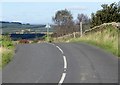
B6478 at Meadow Top
The road to Long Preston.
Image: © philandju
Taken: 22 Sep 2016
0.10 miles
5
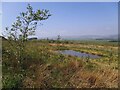
Pond at the top of a field
The pond must, I think, be an artificial one, as it is at the top of a field, seen here from the summit of the road between Slaidburn and Long Preston. It's surrounded by young trees, presumably also planted for landscaping.
Image: © Stephen Craven
Taken: 31 May 2021
0.11 miles
6
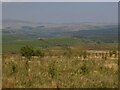
View towards Stocks Reservoir
The view from the summit of the road between Slaidburn and Long Preston. Once these young trees are grown to maturity this view won't be available.
Image: © Stephen Craven
Taken: 31 May 2021
0.11 miles
7
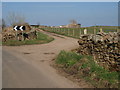
Track to Meadow Top
The track leading from the B6478 up towards Meadow Top.
Image: © Steve Houldsworth
Taken: 14 Apr 2014
0.12 miles
10
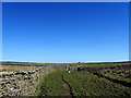
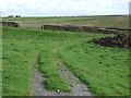
Footpath leading Eastwards from Anna Land End
Public footpath leading east over several rough pastures to the distant building on the skyline - which is Champion.
Image: © Chris Heaton
Taken: 18 Apr 2014
0.20 miles