
IMAGES TAKEN NEAR TO
Peel Park Close, CLITHEROE, BB7 1EX
Introduction
This page details the photographs taken nearby to Peel Park Close, BB7 1EX by members of the Geograph project.
The Geograph project started in 2005 with the aim of publishing, organising and preserving representative images for every square kilometre of Great Britain, Ireland and the Isle of Man.

There are currently over 7.5m images from over14,400 individuals and you can help contribute to the project by visiting https://www.geograph.org.uk
Image Map
Images are licensed for reuse under creativecommons.org/licenses/by-sa/2.0
Notes
- Clicking on the map will re-center to the selected point.
- The higher the marker number, the further away the image location is from the centre of the postcode.
Image Listing (27 Images Found)
Images are licensed for reuse under creativecommons.org/licenses/by-sa/2.0
Image
Details
Distance
1
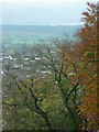
The Nick of Pendle
Taken from the western section of the curtain wall at Clitheroe Castle, Clitheroe, Lancashire, I am looking south east to the Nick of Pendle.
Image: © Carroll Pierce
Taken: 5 Nov 2015
0.13 miles
2
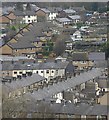
Clitheroe rooftops
Housing on the eastern side of the town, seen from the castle grounds.
Image: © Paul Harrop
Taken: 2 Dec 2013
0.16 miles
4
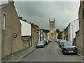
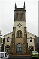
St James Street and church, Clitheroe
The church, listed grade II (entry 1072358) dates from 1839-42 and is a classic 'Commissioners church'.
Image: © Stephen Craven
Taken: 23 Aug 2022
0.18 miles
5
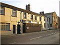
The Royal British Legion Club, Clitheroe
Image: © Alexander P Kapp
Taken: 28 Dec 2008
0.22 miles
7
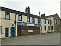
Royal British Legion, Whalley Road, Clitheroe
This is a social club rather than an operational site of the charity.
Image: © Stephen Craven
Taken: 23 Aug 2022
0.22 miles
10
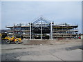
Unearthed 2
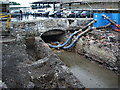
Mearley Brook uncovered during the building of the Homebase store, it was covered when Salford Bridge Mill was built. The large blue boxes are pumps which are diverting water further downstream.
Image: © Alexander P Kapp
Taken: 1 Jun 2008
0.22 miles