
IMAGES TAKEN NEAR TO
Brockhall Village, Old Langho, BLACKBURN, BB6 8BB
Introduction
This page details the photographs taken nearby to BB6 8BB by members of the Geograph project.
The Geograph project started in 2005 with the aim of publishing, organising and preserving representative images for every square kilometre of Great Britain, Ireland and the Isle of Man.

There are currently over 7.5m images from over14,400 individuals and you can help contribute to the project by visiting https://www.geograph.org.uk
Image Map
Images are licensed for reuse under creativecommons.org/licenses/by-sa/2.0
Notes
- Clicking on the map will re-center to the selected point.
- The higher the marker number, the further away the image location is from the centre of the postcode.
Image Listing (10 Images Found)
Images are licensed for reuse under creativecommons.org/licenses/by-sa/2.0
Image
Details
Distance
2
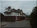
Nos 1 to 3 Brockhall Farm Cottages
Image: © Alexander P Kapp
Taken: 20 Jun 2006
0.06 miles
3
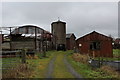
Brockhall Farm
The farm appears abandoned, with weathered "Keep Out" signs displayed.
It is located outside the old Brockhall Mental Hospital, which has now been reborn as Brockhall Village - a gated and exclusive community of recent construction.
Perhaps the farm will soon undergo redevelopment.
Image: © Chris Heaton
Taken: 11 Dec 2016
0.08 miles
4
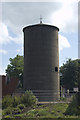
Science in Sport offices Brockhall Village
Image: © Tom Richardson
Taken: 26 Jun 2009
0.08 miles
6
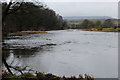
River Ribble beside Brockhall Wood
The river has widened considerably having had the waters of the Calder and Hodder added to its volume, a short distance upstream.
Image: © Chris Heaton
Taken: 11 Dec 2016
0.15 miles
7
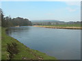
River Ribble, between Hacking Hall and Jumbles Rocks
Looking downstream from Hacking Wood towards Brockhall Wood. Longridge Fell in the background.
Image: © John Topping
Taken: 24 Mar 2007
0.16 miles
8
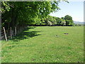
Path through a field
The all but invisible path runs through a sheep field alongside Hacking Wood.
Image: © philandju
Taken: 25 May 2012
0.18 miles
9
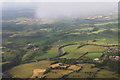
River Ribble north of Brockhall Village: aerial 2014
Image: © Chris
Taken: 29 Jul 2014
0.20 miles
10
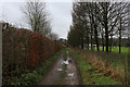
Track beside the Blackburn Rovers Academy Complex
Muddy track running alongside the southern perimeter of professional football club facilities.
Image: © Chris Heaton
Taken: 11 Dec 2016
0.20 miles