
IMAGES TAKEN NEAR TO
Station Road, BLACKBURN, BB6 7BA
Introduction
This page details the photographs taken nearby to Station Road, BB6 7BA by members of the Geograph project.
The Geograph project started in 2005 with the aim of publishing, organising and preserving representative images for every square kilometre of Great Britain, Ireland and the Isle of Man.

There are currently over 7.5m images from over14,400 individuals and you can help contribute to the project by visiting https://www.geograph.org.uk
Image Map
Images are licensed for reuse under creativecommons.org/licenses/by-sa/2.0
Notes
- Clicking on the map will re-center to the selected point.
- The higher the marker number, the further away the image location is from the centre of the postcode.
Image Listing (30 Images Found)
Images are licensed for reuse under creativecommons.org/licenses/by-sa/2.0
Image
Details
Distance
1
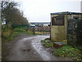
Entrance to "Vogue"
Its definitely not the magazine
Image: © Alexander P Kapp
Taken: 18 Nov 2009
0.09 miles
2
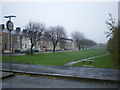
Dismantled railway
Looking east from Barons Way along what was the Blackburn to Padiham railway
Image: © Alexander P Kapp
Taken: 18 Nov 2009
0.12 miles
3
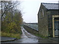
Access road to "Vogue"
The building on the right of the road is Albert Mill
Image: © Alexander P Kapp
Taken: 18 Nov 2009
0.13 miles
5
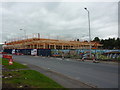
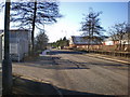
The new Tesco taking shape, on Queens Street
Note the frame work is made out of wood instead of the usual steel
Image: © Alexander P Kapp
Taken: 31 Aug 2011
0.15 miles
6
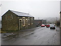
Albert Mill on Barons Way
The stone building was once the offices for Albert Mill
Image: © Alexander P Kapp
Taken: 18 Nov 2009
0.16 miles
7
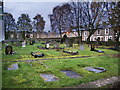
Our Lady & St Hubert's Catholic Church, Great Harwood, Graveyard
Image: © Alexander P Kapp
Taken: 8 Nov 2007
0.17 miles
8
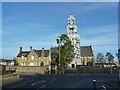
"Wrapped up for winter"
Our Lady & St Hubert's Catholic Church, Great Harwood
Image: © Alexander P Kapp
Taken: 17 Nov 2011
0.17 miles
9

Our Lady and St Hubert's Church, Great Harwood
View of the church from the cemetery grounds, an earlier view of the front elevation can be seen here - https://www.geograph.org.uk/photo/3050449. The building is Grade II listed details can be found here :- https://britishlistedbuildings.co.uk/101280421-roman-catholic-church-of-our-lady-and-st-hubert-and-attached-presbytery-hyndburn-netherton-ward#google_vignette
Image: © Steve Houldsworth
Taken: 10 Apr 2025
0.18 miles
10
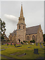
Our Lady and St Hubert's Church, Great Harwood
The church, designed by Edward Welby Pugin (http://en.wikipedia.org/wiki/E._W._Pugin ) was built between 1857-9.
Image: © David Dixon
Taken: 21 Jul 2012
0.18 miles