IMAGES TAKEN NEAR TO
Manchester Road, ACCRINGTON, BB5 2RU
Introduction
This page details the photographs taken nearby to Manchester Road, BB5 2RU by members of the Geograph project.
The Geograph project started in 2005 with the aim of publishing, organising and preserving representative images for every square kilometre of Great Britain, Ireland and the Isle of Man.

There are currently over 7.5m images from over14,400 individuals and you can help contribute to the project by visiting https://www.geograph.org.uk
Image Map
Images are licensed for reuse under creativecommons.org/licenses/by-sa/2.0
Notes
- Clicking on the map will re-center to the selected point.
- The higher the marker number, the further away the image location is from the centre of the postcode.
Image Listing (45 Images Found)
Images are licensed for reuse under creativecommons.org/licenses/by-sa/2.0
Image
Details
Distance
1

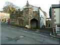
Footpath
Between Back Lane and Manchester Road
Image: © Alexander P Kapp
Taken: 20 Apr 2009
0.01 miles

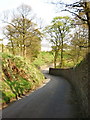
4
Rear view of No560 Manchester Road, Baxenden
Image: © Alexander P Kapp
Taken: 1 Nov 2011
0.05 miles
8
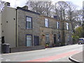
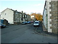
Alliance Street, Baxenden, Accrington
Image: © Alexander P Kapp
Taken: 10 Jan 2011
0.07 miles
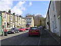
9
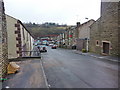
Alliance Street Baxenden
This dead end street, just off the A680 Manchester Road, has an auto Salvage yard at the bottom.
For future reference the terraced two bedroom house on the left was on the market for £96,500 in April 2007
Image: © Paul Anderson
Taken: 11 May 2007
0.08 miles
10

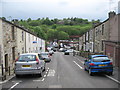
Edward Street, Baxenden, Accrington
Image: © Alexander P Kapp
Taken: 10 Jan 2011
0.08 miles