IMAGES TAKEN NEAR TO
Wells Street, ROSSENDALE, BB4 5LS
Introduction
This page details the photographs taken nearby to Wells Street, BB4 5LS by members of the Geograph project.
The Geograph project started in 2005 with the aim of publishing, organising and preserving representative images for every square kilometre of Great Britain, Ireland and the Isle of Man.

There are currently over 7.5m images from over14,400 individuals and you can help contribute to the project by visiting https://www.geograph.org.uk
Image Map
Images are licensed for reuse under creativecommons.org/licenses/by-sa/2.0
Notes
- Clicking on the map will re-center to the selected point.
- The higher the marker number, the further away the image location is from the centre of the postcode.
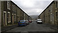
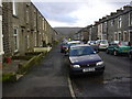
Image Listing (322 Images Found)
Images are licensed for reuse under creativecommons.org/licenses/by-sa/2.0
Image
Details
Distance
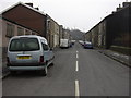
6
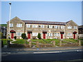
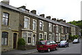
Old School Mews, Bury Road, Haslingden
5 houses with 3 name boards. A bit excessive eh!
Image: © Alexander P Kapp
Taken: 7 May 2008
0.05 miles
7
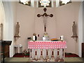
Interior of St Mary's RC Church, Haslingden
Image: © Alexander P Kapp
Taken: 11 May 2007
0.06 miles
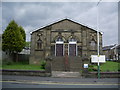
9
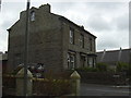
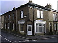
House Wells Street and Bury Road Junction
St Marys' RC Church roof in background
Image: © Robert Wade
Taken: 10 Jul 2007
0.06 miles