
IMAGES TAKEN NEAR TO
Station Road, ROSSENDALE, BB4 4NH
Introduction
This page details the photographs taken nearby to Station Road, BB4 4NH by members of the Geograph project.
The Geograph project started in 2005 with the aim of publishing, organising and preserving representative images for every square kilometre of Great Britain, Ireland and the Isle of Man.

There are currently over 7.5m images from over14,400 individuals and you can help contribute to the project by visiting https://www.geograph.org.uk
Image Map
Images are licensed for reuse under creativecommons.org/licenses/by-sa/2.0
Notes
- Clicking on the map will re-center to the selected point.
- The higher the marker number, the further away the image location is from the centre of the postcode.
Image Listing (183 Images Found)
Images are licensed for reuse under creativecommons.org/licenses/by-sa/2.0
Image
Details
Distance
1
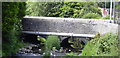
Bowl Alley Bridge Helmshore
River Ogden passes underneath Station Road (always known locally as Bowl Alley) on its way to the Irwell.
Image: © Robert Wade
Taken: 11 Jun 2007
0.01 miles
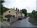
3
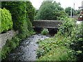
River Ogden
The bridge carries Station Road over the river
Image: © Alexander P Kapp
Taken: 11 Aug 2008
0.02 miles
4
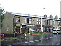
Nos 416 to 420 Holcombe Road, Helmshore
The three end buildings of the terrace were the original shops of the Helmshore Co-operative Society.
Image: © Alexander P Kapp
Taken: 11 Aug 2008
0.02 miles
5
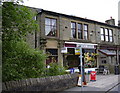
Village Shop Holcombe Road Helmshore
May have been a Co-Op earlier. Datestone reads 1861. Now confirmed as being the former premises of the Haslingden Industrial Co-Operative Society.
Image: © Robert Wade
Taken: 7 Jun 2007
0.03 miles
6
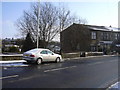
Holcombe Road
For this scene a hundred years ago please go to http://www.flickr.com/photos/rossendalewadey/3231620667/
Image: © Robert Wade
Taken: 3 Feb 2009
0.03 miles
7
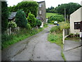
Short cut
Between Station Road and Holcombe Road
Image: © Alexander P Kapp
Taken: 11 Aug 2008
0.03 miles
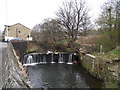
9
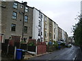
Top half
The top half of the terrace are numbered to Holcombe Road, whilst the bottom half are numbered to Station Road. The difference in height between Holcombe and Station Roads was enough to build houses on top of each other, with the front door on either road
Image: © Alexander P Kapp
Taken: 11 Aug 2008
0.04 miles
10
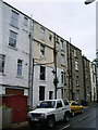
Not back to back
The house which is sandy coloured and white is No386 Holcombe Road whilst the one below is No3 Station Road
Image: © Alexander P Kapp
Taken: 11 Aug 2008
0.06 miles