
IMAGES TAKEN NEAR TO
Knowle Fold, DARWEN, BB3 0EQ
Introduction
This page details the photographs taken nearby to Knowle Fold, BB3 0EQ by members of the Geograph project.
The Geograph project started in 2005 with the aim of publishing, organising and preserving representative images for every square kilometre of Great Britain, Ireland and the Isle of Man.

There are currently over 7.5m images from over14,400 individuals and you can help contribute to the project by visiting https://www.geograph.org.uk
Image Map
Images are licensed for reuse under creativecommons.org/licenses/by-sa/2.0
Notes
- Clicking on the map will re-center to the selected point.
- The higher the marker number, the further away the image location is from the centre of the postcode.
Image Listing (12 Images Found)
Images are licensed for reuse under creativecommons.org/licenses/by-sa/2.0
Image
Details
Distance
2
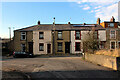
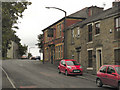
Moor Lane leading into Knowle Lane, Darwen
Image: © Chris Heaton
Taken: 15 Jan 2022
0.11 miles
3
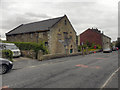
Lower Chapel, Darwen
Independent chapel; See http://www.lan-opc.org.uk/Over-Darwen/lower/index.html for more information.
Image: © David Dixon
Taken: 20 Jul 2011
0.16 miles
7
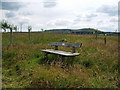
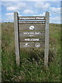
Daisy "Duke" Jordan, dedicated seat, Polyphemus Wood, Darwen
The seat was donated by the Jordan Family, http://www.treeforall.org.uk/trafalgar/AboutTheProject/LatestNews/Polyphemus.htm
Image: © Alexander P Kapp
Taken: 4 Jul 2008
0.20 miles
8
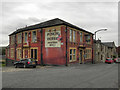
Punch Hotel
The Punch Hotel, Chapels, Darwen
Image: © David Dixon
Taken: 20 Jul 2011
0.20 miles
9
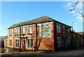
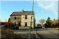
Punch Hotel, Darwen
Located at 25, Chapels - in Darwen
Image: © Chris Heaton
Taken: 15 Jan 2022
0.20 miles
10
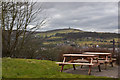
Picnic tables with a view of the Jubilee Tower
Image: © Ian Greig
Taken: 27 Mar 2015
0.22 miles