
IMAGES TAKEN NEAR TO
Quebec Road, BLACKBURN, BB2 7BZ
Introduction
This page details the photographs taken nearby to Quebec Road, BB2 7BZ by members of the Geograph project.
The Geograph project started in 2005 with the aim of publishing, organising and preserving representative images for every square kilometre of Great Britain, Ireland and the Isle of Man.

There are currently over 7.5m images from over14,400 individuals and you can help contribute to the project by visiting https://www.geograph.org.uk
Image Map
Images are licensed for reuse under creativecommons.org/licenses/by-sa/2.0
Notes
- Clicking on the map will re-center to the selected point.
- The higher the marker number, the further away the image location is from the centre of the postcode.
Image Listing (10 Images Found)
Images are licensed for reuse under creativecommons.org/licenses/by-sa/2.0
Image
Details
Distance
1
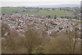
Lammack
View from The Tank, Revidge. The loop of Montreal Road can be seen, a bit like fingerprint ridges.
Image: © Richard Webb
Taken: 4 Apr 2019
0.02 miles
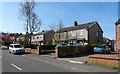
3
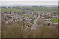
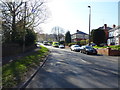
Lammack Road, Blackburn
View from The Tank.
Image: © Richard Webb
Taken: 4 Apr 2019
0.11 miles
4
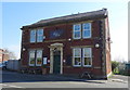
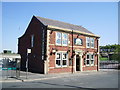
The Hare & Hounds public house
On Lammack Road.
Image: © JThomas
Taken: 19 Apr 2019
0.12 miles
7
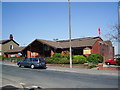
Lammack Methodist Church, Blackburn
Image: © Alexander P Kapp
Taken: 1 May 2007
0.14 miles
8
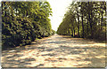
The Broad Walk, Corporation Park, Blackburn
This is where the Victorians and Edwardians would promenade
Image: © Malcolm Morris
Taken: 5 Jul 1987
0.20 miles
9
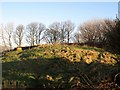
Revidge Summit
Revidge, 229 metres and a P55 hill near Blackburn.
Image: © Rude Health
Taken: 6 Feb 2012
0.22 miles
10
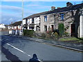
Newsagents
Newsagent and off-licence etc. Lammack Road. Used to be a Post Office.
Image: © Tony Mercer
Taken: 25 Jan 2009
0.24 miles