
IMAGES TAKEN NEAR TO
Dunoon Drive, BLACKBURN, BB1 2JW
Introduction
This page details the photographs taken nearby to Dunoon Drive, BB1 2JW by members of the Geograph project.
The Geograph project started in 2005 with the aim of publishing, organising and preserving representative images for every square kilometre of Great Britain, Ireland and the Isle of Man.

There are currently over 7.5m images from over14,400 individuals and you can help contribute to the project by visiting https://www.geograph.org.uk
Image Map
Images are licensed for reuse under creativecommons.org/licenses/by-sa/2.0
Notes
- Clicking on the map will re-center to the selected point.
- The higher the marker number, the further away the image location is from the centre of the postcode.
Image Listing (11 Images Found)
Images are licensed for reuse under creativecommons.org/licenses/by-sa/2.0
Image
Details
Distance
1
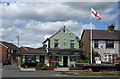
A patriotic newsagent
Carling is probably brewed in England
Image: © Ian Greig
Taken: 9 Jul 2015
0.07 miles
2
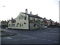
The Foresters, 92 Fecitt Brow, Blackburn
Image: © Alexander P Kapp
Taken: 18 Feb 2008
0.19 miles
3
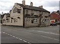
The Foresters
The Foresters public house at Shadsworth
Image: © David Dixon
Taken: 20 Jul 2011
0.19 miles
4
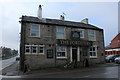
The Foresters, Fecitt Brow
Public house in the Shadworth suburb of Blackburn
Image: © Chris Heaton
Taken: 20 Jan 2019
0.19 miles
5
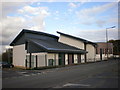
Our lady and St John RC High School, Sixth Form Building
Image: © Alexander P Kapp
Taken: 23 Oct 2009
0.21 miles
6
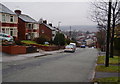
Fecitt Brow, Blackburn
A mostly residential road which descends steeply towards Blackburn town centre.
Image: © Bill Boaden
Taken: 12 Jan 2011
0.23 miles
7
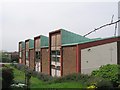
Christ the King Roman Catholic Shadsworth Blackburn
It was located on North Road opposite Patterdale Avenue, the church was founded in 1959 and moved to these premises in 1962. The church closed, although I do not know when and the building was demolished in 2008 just after this image was taken.
Image: © Steve Houldsworth
Taken: Unknown
0.23 miles
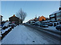
9
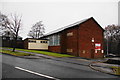
St Oswald's Church Hall
This is at the eastern end of Fecitt Brow.
Image: © Bill Boaden
Taken: 12 Jan 2011
0.24 miles
10
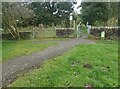
The Weavers Wheel Knuzden Brook
The Weavers Wheel is a cycle track developed covering parts of Lancashire, this section passes through Knuzden. The Weavers Wheel forms a key part of the East Lancashire Strategic Cycleway incorporating the new Valley of Stone cycleway in Rossendale, National Cycle Route 6 (Hyndburn and Rossendale) and the Huncoat Greenway.
Image: © Steve Houldsworth
Taken: 8 Oct 2024
0.24 miles