
IMAGES TAKEN NEAR TO
Jewel Lane, BURNLEY, BB12 9NS
Introduction
This page details the photographs taken nearby to Jewel Lane, BB12 9NS by members of the Geograph project.
The Geograph project started in 2005 with the aim of publishing, organising and preserving representative images for every square kilometre of Great Britain, Ireland and the Isle of Man.

There are currently over 7.5m images from over14,400 individuals and you can help contribute to the project by visiting https://www.geograph.org.uk
Image Map
Images are licensed for reuse under creativecommons.org/licenses/by-sa/2.0
Notes
- Clicking on the map will re-center to the selected point.
- The higher the marker number, the further away the image location is from the centre of the postcode.
Image Listing (18 Images Found)
Images are licensed for reuse under creativecommons.org/licenses/by-sa/2.0
Image
Details
Distance
1
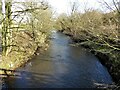
Pendle Water
Viewed from the footbridge near the former Jewel Mill site
Image: © Kevin Waterhouse
Taken: 31 Jan 2023
0.04 miles
4
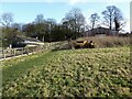
Footpath around Monkhey Farm
This path is on the south side of the property having being diverted from its original course on the north side
Image: © Kevin Waterhouse
Taken: 31 Jan 2023
0.11 miles
5
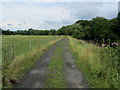
Track beside Pendle Water
Track following Pendle Water towards Waterside.
Image: © Chris Heaton
Taken: 20 Jul 2014
0.11 miles
6
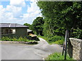
Robinson Lane from Hawk's House Bridge
Looking west, the plant nursery is on the left. The lane leads on to Monkhey Farm, beyond which vehicular progress is not possible, but the pedestrian can carry on to the banks of Pendle Water; there is also a footbridge there.
Image: © Dr Neil Clifton
Taken: 16 Jun 2009
0.18 miles
7
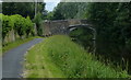
Hawks House Bridge No 136
Carrying Robinson Lane across the Leeds and Liverpool Canal at Brierfield.
Image: © Mat Fascione
Taken: 28 Jun 2016
0.20 miles
8
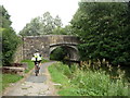
Bridge 136, Leeds and Liverpool Canal
Carries Robinson Lane.
Image: © JThomas
Taken: 2 Aug 2018
0.21 miles
9

Benchmark on south face of arch of Hawk's House Bridge
Ordnance Survey 1GL bolt benchmark levelled at 128.991m above Newlyn Datum verified 1961
Image: © Roger Templeman
Taken: 1 Apr 2025
0.21 miles
10
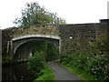
Bridge #136, Robinson Lane over the L&L Canal
Image: © Ian S
Taken: 9 Oct 2010
0.22 miles