
IMAGES TAKEN NEAR TO
The Street, BATH, BA2 0FY
Introduction
This page details the photographs taken nearby to The Street, BA2 0FY by members of the Geograph project.
The Geograph project started in 2005 with the aim of publishing, organising and preserving representative images for every square kilometre of Great Britain, Ireland and the Isle of Man.

There are currently over 7.5m images from over14,400 individuals and you can help contribute to the project by visiting https://www.geograph.org.uk
Image Map
Images are licensed for reuse under creativecommons.org/licenses/by-sa/2.0
Notes
- Clicking on the map will re-center to the selected point.
- The higher the marker number, the further away the image location is from the centre of the postcode.
Image Listing (80 Images Found)
Images are licensed for reuse under creativecommons.org/licenses/by-sa/2.0
Image
Details
Distance
2
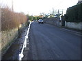
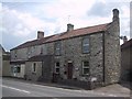
The Street, Farmborough
A brook runs alongside the street. Cottages on the north side of the brook are accessed across bridges.
Image: © John Lord
Taken: 28 Jan 2012
0.03 miles
3
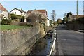
Conygre Brook, The Street, Farmborough
Image: © Derek Harper
Taken: 16 Feb 2016
0.03 miles
4
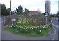
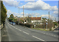
Daffodils at Farmborough
At the junction of Bath Road and The Street, at the west end of the village.
Image: © Roger Cornfoot
Taken: 12 Mar 2007
0.04 miles
6
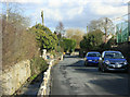
2010 : The Street and Conygre Brook Farmborough
Looking east.
Conygre Brook is on the other side of the railings, probably used for effluent disposal in former days. It rises about a mile west at the foot of Blackberry Hill and continues east to Priston Mill.
Image: © Maurice Pullin
Taken: 1 Mar 2010
0.05 miles
8
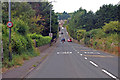
2010 : A39 Bath Road, Farmborough
Looking north east toward Bath.
Farmborough is in the north Somerset coalfield, a pit was dug here around 1840, reached a depth of about 1400 feet and was closed in 1847 with no coal extracted. http://en.wikipedia.org/wiki/Somerset_coalfield
Image: © Maurice Pullin
Taken: 1 Mar 2010
0.06 miles
9
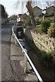
Conygre Brook, The Street, Farmborough
Image: © Derek Harper
Taken: 16 Feb 2016
0.06 miles
10
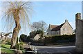
The Street, Farmborough
The junction with Brookside Drive on the right, and with Conygre Brook running by the street on the left; Image] looks in the opposite direction.
Image: © Derek Harper
Taken: 16 Feb 2016
0.07 miles