
IMAGES TAKEN NEAR TO
Spencers Orchard, BRADFORD-ON-AVON, BA15 1TJ
Introduction
This page details the photographs taken nearby to Spencers Orchard, BA15 1TJ by members of the Geograph project.
The Geograph project started in 2005 with the aim of publishing, organising and preserving representative images for every square kilometre of Great Britain, Ireland and the Isle of Man.

There are currently over 7.5m images from over14,400 individuals and you can help contribute to the project by visiting https://www.geograph.org.uk
Image Map
Images are licensed for reuse under creativecommons.org/licenses/by-sa/2.0
Notes
- Clicking on the map will re-center to the selected point.
- The higher the marker number, the further away the image location is from the centre of the postcode.
Image Listing (164 Images Found)
Images are licensed for reuse under creativecommons.org/licenses/by-sa/2.0
Image
Details
Distance

2
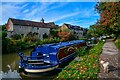
Bradford-on-Avon : Kennet & Avon Canal
Looking along the Kennet & Avon Canal.
Image: © Lewis Clarke
Taken: 18 Oct 2022
0.05 miles
3
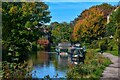
Bradford-on-Avon : Kennet & Avon Canal
Looking along the Kennet & Avon Canal.
Image: © Lewis Clarke
Taken: 18 Oct 2022
0.05 miles
4
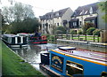
Canalside houses, Bradford-on-Avon
Viewed across the Kennet and Avon Canal south of Bradford Wharf.
Image: © Jaggery
Taken: 7 Oct 2011
0.05 miles
5
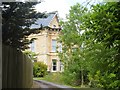
House on Frome Road
Frome Road, the B3109 has some older, substantial houses such as the one in the image.
Image: © Michael Dibb
Taken: 19 Jun 2018
0.05 miles
6
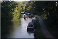
Kennet & Avon Canal, Bradford on Avon
Looking towards Bradford Wharf from Underwoods Bridge (carrying Moulton Drive) in the early morning sunlight.
Image: © Stephen McKay
Taken: 13 Sep 2011
0.06 miles
7
![A walk from Trowbridge to Bradford-on-Avon [59]](https://s1.geograph.org.uk/geophotos/07/40/61/7406149_d417f305_120x120.jpg)
A walk from Trowbridge to Bradford-on-Avon [59]
The Kennet and Avon Canal near one of the Bradford-on-Avon wharfs.
The walk starts at Trowbridge railway station and initially follows both the railway line and the River Bliss northwards. The river and the railway both pass under the Kennet and Avon Canal and the canal towpath is taken heading west towards Bradford-on-Avon. Leaving the canal, a short walk through streets leads to the railway station for a train back to the starting point at Trowbridge. Just under 3¾ miles.
Image: © Michael Dibb
Taken: 26 Jan 2023
0.06 miles
8
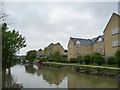
Housing on a street called Baileys Barn
Built since 2000, as not shown on earlier maps. Alongside the Kennet & Avon Canal towpath.
Image: © Christine Johnstone
Taken: 2 May 2015
0.06 miles
9
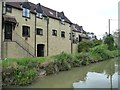
Housing off Frome Road, Bradford-on-Avon
Alongside the Kennet & Avon Canal.
Image: © Christine Johnstone
Taken: 2 May 2015
0.06 miles
10
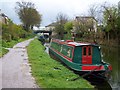
Kennet and Avon Canal at Bradford-on-Avon
Image: © David Martin
Taken: 22 Apr 2012
0.07 miles