IMAGES TAKEN NEAR TO
Kerswell Drive, SOLIHULL, B90 4PE
Introduction
This page details the photographs taken nearby to Kerswell Drive, B90 4PE by members of the Geograph project.
The Geograph project started in 2005 with the aim of publishing, organising and preserving representative images for every square kilometre of Great Britain, Ireland and the Isle of Man.

There are currently over 7.5m images from over14,400 individuals and you can help contribute to the project by visiting https://www.geograph.org.uk
Image Map
Images are licensed for reuse under creativecommons.org/licenses/by-sa/2.0
Notes
- Clicking on the map will re-center to the selected point.
- The higher the marker number, the further away the image location is from the centre of the postcode.
Image Listing (14 Images Found)
Images are licensed for reuse under creativecommons.org/licenses/by-sa/2.0
Image
Details
Distance
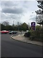
1
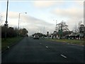
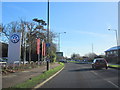
Speed camera ahead on the A34
No excuses! Signs and a clearly painted camera box should be enough.
Image: © Peter Whatley
Taken: 12 Nov 2011
0.14 miles
4
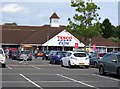
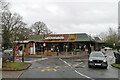
The Plough, Solihull
A Beefeater restaurant made to look a bit like a pub.
Image: © Bill Boaden
Taken: 21 Sep 2013
0.19 miles
6
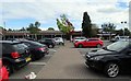
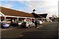
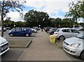
Notcutts Garden Centre by Tesco Extra car park
Image: © Andrew Tatlow
Taken: 14 Sep 2018
0.22 miles