
IMAGES TAKEN NEAR TO
Huntingdon Close, TAMWORTH, B78 3XS
Introduction
This page details the photographs taken nearby to Huntingdon Close, B78 3XS by members of the Geograph project.
The Geograph project started in 2005 with the aim of publishing, organising and preserving representative images for every square kilometre of Great Britain, Ireland and the Isle of Man.

There are currently over 7.5m images from over14,400 individuals and you can help contribute to the project by visiting https://www.geograph.org.uk
Image Map
Images are licensed for reuse under creativecommons.org/licenses/by-sa/2.0
Notes
- Clicking on the map will re-center to the selected point.
- The higher the marker number, the further away the image location is from the centre of the postcode.
Image Listing (54 Images Found)
Images are licensed for reuse under creativecommons.org/licenses/by-sa/2.0
Image
Details
Distance
1
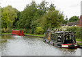
Canal east of Bonehill in Staffordshire
This is the Birmingham and Fazeley Canal north-west of Fazeley Junction.
Image: © Roger D Kidd
Taken: 26 Sep 2016
0.05 miles
2
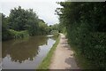
Birmingham & Fazeley Canal towards Bonehill Road Bridge
Image: © Ian S
Taken: 24 Jul 2021
0.06 miles
3

Canal north-west of Fazeley Junction in Staffordshire
Looking south-east towards the junction from near Bonehill (Road) Bridge.
Image: © Roger Kidd
Taken: 19 Aug 2012
0.07 miles
4

Canal north-west of Fazeley Junction in Staffordshire
Looking north-west, this part of the Birmingham and Fazeley Canal is on the section they built from Coventry Canal plans when that company ran out of money.
Ahead is Bonehill Road Bridge. This small bridge on the Birmingham and Fazeley Canal has no road over it, just a farm track and a public footpath. Maps (even Victorian ones) call it Bonehill Bridge.
Image: © Roger Kidd
Taken: 19 Jun 2010
0.07 miles
5
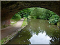
Birmingham and Fazeley Canal near Fazeley in Staffordshire
Looking south-east through the arch of Bonehill (Road) Bridge, and towards Fazeley Junction.
The bridge carries a public footpath which crosses nearby fields, but does not carry Bonehill Road, despite its nameplate. Many maps just mark it as Bonehill Bridge.
Image: © Roger Kidd
Taken: 19 Aug 2012
0.08 miles
6
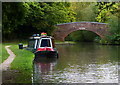
Narrowboat moored near the Bonehill Road Bridge
Along the Birmingham & Fazeley Canal in Fazeley.
Image: © Mat Fascione
Taken: 10 Oct 2015
0.08 miles
7
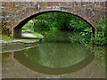
Bonehill Road Bridge near Fazeley in Staffordshire
Looking south-south-east towards Bonehill (Road) Bridge and Fazeley Junction.
The bridge carries a public footpath which crosses nearby fields. It does not carry Bonehill Road, despite its nameplate. Many maps just mark it as Bonehill Bridge.
Image]
Image: © Roger Kidd
Taken: 19 Aug 2012
0.08 miles
8
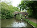
Cyclist at Bonehill Road Bridge, near Fazeley
This part of the Birmingham & Fazeley canal towpath is mapped as a traffic-free cycle route.
Image: © Christine Johnstone
Taken: 8 May 2022
0.08 miles
9

Bonehill Road Bridge near Fazeley, Staffordshire
This small bridge on the Birmingham and Fazeley Canal has no road over it, just a farm track and a public footpath. On some maps it is called Bonehill Bridge. This five and a half mile length of the canal was built by the Birmingham and Fazeley Canal Company when the Coventry Canal company ran out of money.
Image: © Roger D Kidd
Taken: 10 Sep 2008
0.08 miles
10
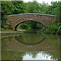
Bonehill Road Bridge near Fazeley in Staffordshire
Looking south-south-east towards Bonehill (Road) Bridge and Fazeley Junction.
The bridge carries a public footpath which crosses nearby fields. It does not carry Bonehill Road, despite its nameplate. Some maps just mark it as it Bonehill Bridge.
Image]
Image: © Roger Kidd
Taken: 19 Aug 2012
0.09 miles