IMAGES TAKEN NEAR TO
Droicon Industrial Estate, Portway Road, ROWLEY REGIS, B65 9BY
Introduction
This page details the photographs taken nearby to Droicon Industrial Estate, Portway Road, B65 9BY by members of the Geograph project.
The Geograph project started in 2005 with the aim of publishing, organising and preserving representative images for every square kilometre of Great Britain, Ireland and the Isle of Man.

There are currently over 7.5m images from over14,400 individuals and you can help contribute to the project by visiting https://www.geograph.org.uk
Image Map
Images are licensed for reuse under creativecommons.org/licenses/by-sa/2.0
Notes
- Clicking on the map will re-center to the selected point.
- The higher the marker number, the further away the image location is from the centre of the postcode.
Image Listing (5 Images Found)
Images are licensed for reuse under creativecommons.org/licenses/by-sa/2.0
Image
Details
Distance
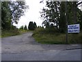
4
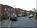
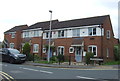
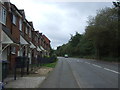
Hanover Road
The view off Portway Road on the side of Turner's Hill.
Image: © Gordon Griffiths
Taken: 3 Sep 2010
0.17 miles
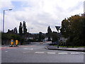
5
Sandwell Pines Range
The Golf Centre off Tippity Green, Rowley Regis.
Image: © Gordon Griffiths
Taken: 3 Sep 2010
0.23 miles