
IMAGES TAKEN NEAR TO
Brackenfield Road, BIRMINGHAM, B44 9BB
Introduction
This page details the photographs taken nearby to Brackenfield Road, B44 9BB by members of the Geograph project.
The Geograph project started in 2005 with the aim of publishing, organising and preserving representative images for every square kilometre of Great Britain, Ireland and the Isle of Man.

There are currently over 7.5m images from over14,400 individuals and you can help contribute to the project by visiting https://www.geograph.org.uk
Image Map
Images are licensed for reuse under creativecommons.org/licenses/by-sa/2.0
Notes
- Clicking on the map will re-center to the selected point.
- The higher the marker number, the further away the image location is from the centre of the postcode.
Image Listing (13 Images Found)
Images are licensed for reuse under creativecommons.org/licenses/by-sa/2.0
Image
Details
Distance
1
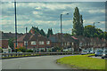
Kingstanding : Queslett Road A4041
Looking along Queslett Road.
Image: © Lewis Clarke
Taken: 26 Sep 2020
0.06 miles
2
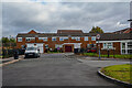
Kingstanding : Cotleigh Grove
Looking off Queslett Road.
Image: © Lewis Clarke
Taken: 26 Sep 2020
0.09 miles

4
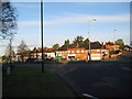
Shops on Queslett Road - Walsall, West Midlands
These shops stand on the southern side of Collingwood Drive at its junction with the Queslett roundabout. Time photo taken 6.28 am BST (British Summer Time).
Image: © Martin Richard Phelan
Taken: 30 Apr 2016
0.13 miles
5
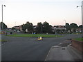
Before the rush hour - Pheasey, Walsall, West Midlands
Roundabout at the junction of the A4041 West Bromwich to Sutton Park road and the B4149 Pheasey to Beggars Bush Road. It will not be as quiet as this later on. Time photo taken 5.48 am BST (British Summer Time).
Image: © Martin Richard Phelan
Taken: 8 Aug 2013
0.14 miles
6
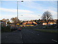
Queslett roundabout - North Birmingham
A view of the Queslett roundabout and surrounds taken from the B4149 Kings Road. Hardly any traffic around at this time of the morning, in contrast to what it would be later on. The road from left to right is the A4041 from West Bromwich to the western border of Sutton Park on the Chester Road. The roads ahead on the left and right are Collingwood Drive and Romney Way. Time photo taken 6.25 am BST (British Summer Time).
Image: © Martin Richard Phelan
Taken: 30 Apr 2016
0.14 miles
7
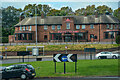
Kingstanding : Roundabout
A roundabout with Buffet Island in view.
Image: © Lewis Clarke
Taken: 26 Sep 2020
0.14 miles
8
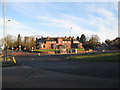
Buffet Island - Queslett, Walsall, West Midlands
An early morning view of the Queslett roundabout, taken from the southern junction of the A4041 with the roundabout. The Chinese restaurant Buffet Island stands above it all, a very easy place to find. To the north of the A4041 lies Pheasey and to the south Queslett which were once part of Birmingham but some years ago were transferred to the ownership of Walsall Borough. Time photo taken 6.30 am BST (British Summer Time).
Image: © Martin Richard Phelan
Taken: 30 Apr 2016
0.18 miles
9
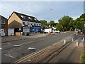
Convenience store and hair salon on Shady Lane
These two small businesses are located opposite the junction with Oscott School Lane.
Image: © Richard Law
Taken: 9 Aug 2018
0.20 miles
10
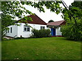
Pheasey Evangelical Church
A small hall and church just off Romney Way.
Image: © Richard Law
Taken: 12 Jun 2013
0.21 miles