
IMAGES TAKEN NEAR TO
West Heath Road, BIRMINGHAM, B31 3TX
Introduction
This page details the photographs taken nearby to West Heath Road, B31 3TX by members of the Geograph project.
The Geograph project started in 2005 with the aim of publishing, organising and preserving representative images for every square kilometre of Great Britain, Ireland and the Isle of Man.

There are currently over 7.5m images from over14,400 individuals and you can help contribute to the project by visiting https://www.geograph.org.uk
Image Map
Images are licensed for reuse under creativecommons.org/licenses/by-sa/2.0
Notes
- Clicking on the map will re-center to the selected point.
- The higher the marker number, the further away the image location is from the centre of the postcode.
Image Listing (13 Images Found)
Images are licensed for reuse under creativecommons.org/licenses/by-sa/2.0
Image
Details
Distance
1
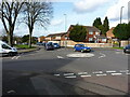
Mini roundabout on West Heath Road
Mini roundabout located at the point at which Turves Green (white van on the left) and Staple Lodge Road (black car on the right) cross West Heath Road.
Image: © Richard Law
Taken: 26 Feb 2020
0.04 miles
2
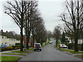
Staple Lodge Road, Turves Green
Looking east towards King's Norton (with apostrophe).
Image: © Jonathan Billinger
Taken: 28 Jan 2009
0.07 miles
4
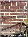
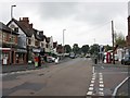
OS benchmark - Turves Green, electricity substation building
An OS cutmark on the wall of what appears to be a substation house, last levelled in 1965 at 167.347m above Ordnance Datum Newlyn.
Image: © Richard Law
Taken: 26 Feb 2020
0.19 miles
6
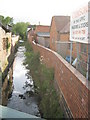
River Rea, Northfield
View from West Heath Road, looking south
Image: © Michael Westley
Taken: 9 May 2011
0.22 miles
7
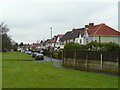
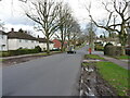
Inter-war housing on West Heath Road
Looking north towards Turves Green.
Image: © Jonathan Billinger
Taken: 28 Jan 2009
0.23 miles
8
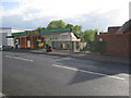
The Old Mill, Northfield
Not sure if there was a mill on this site - in close proximity to River Rea (shown on right, beyond bridge), on West Heath Road, near Station Road, Northfield
Image: © Michael Westley
Taken: 9 May 2011
0.23 miles
9
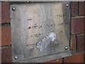
Plaque at River Rea, Northfield
The inscription reads "West Heath Road Bridge rebuilt by Birmingham City Council as part of the River Rea Improvement Scheme Completed in August 2001"
Image: © Michael Westley
Taken: 9 May 2011
0.24 miles
10
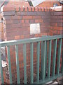
Plaque at bridge across river
On West Heath Road, Northfield, where River Rea crosses under, a plaque denotes improvements made Image
Image: © Michael Westley
Taken: 9 May 2011
0.24 miles