
IMAGES TAKEN NEAR TO
Billingsley Road, BIRMINGHAM, B26 2EA
Introduction
This page details the photographs taken nearby to Billingsley Road, B26 2EA by members of the Geograph project.
The Geograph project started in 2005 with the aim of publishing, organising and preserving representative images for every square kilometre of Great Britain, Ireland and the Isle of Man.

There are currently over 7.5m images from over14,400 individuals and you can help contribute to the project by visiting https://www.geograph.org.uk
Image Map
Images are licensed for reuse under creativecommons.org/licenses/by-sa/2.0
Notes
- Clicking on the map will re-center to the selected point.
- The higher the marker number, the further away the image location is from the centre of the postcode.
Image Listing (11 Images Found)
Images are licensed for reuse under creativecommons.org/licenses/by-sa/2.0
Image
Details
Distance
1
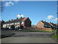
Hengham Road Billingsley Road Junction Garretts Green
Image: © Roy Hughes
Taken: 7 Mar 2016
0.07 miles
2
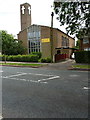
St Thomas's church, Garretts Green
This looks like a 1950s construction, which would tie in with the age of much of the local housing estates.
Image: © Richard Law
Taken: 4 Jul 2014
0.09 miles
3
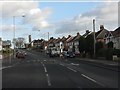
Garretts Green Lane enters Garretts Green
Image: © Peter Whatley
Taken: 7 Dec 2011
0.09 miles
4
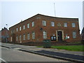
Garretts Green Lane Police Station.
Viewed from Hengham Road.
Image: © Carl Baker
Taken: 12 Sep 2006
0.12 miles
5
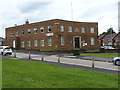
Sheldon Police Station
The nick appears to have had a change of name (and a new sign fixed to the wall) since Image was taken 8 years ago.
Image: © Richard Law
Taken: 4 Jul 2014
0.12 miles
6
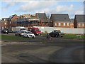
New construction at Garretts Green Lane roundabout
Image: © Peter Whatley
Taken: 7 Dec 2011
0.14 miles
8
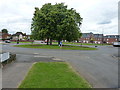
Garretts Green roundabout
A 7-way roundabout in the middle of the suburb.
Image: © Richard Law
Taken: 4 Jul 2014
0.16 miles
10
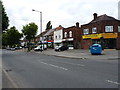
Shops on Garretts Green Lane
A parade of shops at the junction with Cockshut Hill.
Image: © Richard Law
Taken: 4 Jul 2014
0.20 miles