
IMAGES TAKEN NEAR TO
Astley Road, BIRMINGHAM, B21 8DL
Introduction
This page details the photographs taken nearby to Astley Road, B21 8DL by members of the Geograph project.
The Geograph project started in 2005 with the aim of publishing, organising and preserving representative images for every square kilometre of Great Britain, Ireland and the Isle of Man.

There are currently over 7.5m images from over14,400 individuals and you can help contribute to the project by visiting https://www.geograph.org.uk
Image Map
Images are licensed for reuse under creativecommons.org/licenses/by-sa/2.0
Notes
- Clicking on the map will re-center to the selected point.
- The higher the marker number, the further away the image location is from the centre of the postcode.
Image Listing (10 Images Found)
Images are licensed for reuse under creativecommons.org/licenses/by-sa/2.0
Image
Details
Distance
1
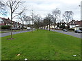
Sandwell Road dual carriageway
A view down the grassy central reservation of the A4040 through Handsworth.
Image: © Richard Law
Taken: 8 Mar 2017
0.08 miles
2
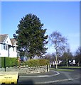
Corner of Cranbrook Rd and Sandwell Rd
Araucaria araucana
Image: © araucaria araucana
Taken: 19 Jan 2011
0.13 miles
3
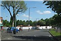
The Uplands Pub Site, Now Demolished
I must have passed this pub a thousand times and never took a picture of it before it was torn down.
Image: © Roy Hughes
Taken: 12 May 2009
0.14 miles
4
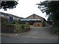
Beacon Evangelical Church
Beside Sandwell road in Handsworth.
Image: © David Stowell
Taken: 8 Jul 2006
0.21 miles
5
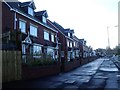
New Homes, Island Road
New homes built on site of former dairy, on the corner of Sandwell Road and Grafton Road. See Image] for former view.
Image: © Michael Westley
Taken: 17 Jan 2010
0.21 miles
6
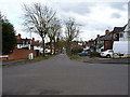
Landgate Road, Handsworth
Looking towards its junction with Cranbrook Road and then Sandwell Road.
Image: © Richard Law
Taken: 8 Mar 2017
0.24 miles
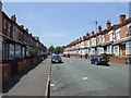
8
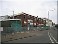
Derelict dairy
The former Avonmore Dairy at the junction of Sandwell and Island Roads which was due for demolition prior to re-development for more housing when this picture was submitted.
Image], submitted in January 2010, shows the completed development with the housing now up and in use.
Image: © David Stowell
Taken: 8 Jul 2006
0.25 miles
9

Westbourne Road
One of the long residential streets made up of Victorian terraced housing that makes up the bulk of the housing stock in Handsworth.
Image: © Nigel Mykura
Taken: 13 Jul 2011
0.25 miles
10
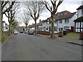
Regent Road, Handsworth
Pleasant semi-detached, tree-lined 'suburbia' in the middle of the city.
Image: © Richard Law
Taken: 8 Mar 2017
0.25 miles