IMAGES TAKEN NEAR TO
St. Pauls Road, BIRMINGHAM, B12 8NG
Introduction
This page details the photographs taken nearby to St. Pauls Road, B12 8NG by members of the Geograph project.
The Geograph project started in 2005 with the aim of publishing, organising and preserving representative images for every square kilometre of Great Britain, Ireland and the Isle of Man.

There are currently over 7.5m images from over14,400 individuals and you can help contribute to the project by visiting https://www.geograph.org.uk
Image Map
Images are licensed for reuse under creativecommons.org/licenses/by-sa/2.0
Notes
- Clicking on the map will re-center to the selected point.
- The higher the marker number, the further away the image location is from the centre of the postcode.
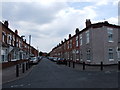
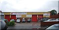
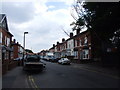
Image Listing (52 Images Found)
Images are licensed for reuse under creativecommons.org/licenses/by-sa/2.0
Image
Details
Distance

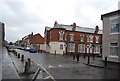
7
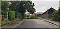
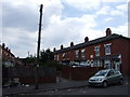
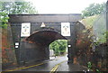
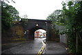
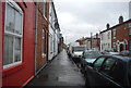
Malvern Street, Balsall Heath
Situated in a dense urban area, Malvern Street is now a short cul-de-sac. It serves Balsall Heath City Farm (left) and St Paul's Community Development Trust's nursery and children's centre.
Image: © Paul Collins
Taken: 21 Aug 2021
0.10 miles