
IMAGES TAKEN NEAR TO
Balnagask Road, ABERDEEN, AB11 8RS
Introduction
This page details the photographs taken nearby to Balnagask Road, AB11 8RS by members of the Geograph project.
The Geograph project started in 2005 with the aim of publishing, organising and preserving representative images for every square kilometre of Great Britain, Ireland and the Isle of Man.

There are currently over 7.5m images from over14,400 individuals and you can help contribute to the project by visiting https://www.geograph.org.uk
Image Map
Images are licensed for reuse under creativecommons.org/licenses/by-sa/2.0
Notes
- Clicking on the map will re-center to the selected point.
- The higher the marker number, the further away the image location is from the centre of the postcode.
Image Listing (24 Images Found)
Images are licensed for reuse under creativecommons.org/licenses/by-sa/2.0
Image
Details
Distance
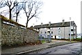
2
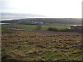
The Corbett Farmhouse December 2009
Finally razed to the ground in November 2009
Image: © Peter Robinson
Taken: 13 Dec 2009
0.12 miles
3

Aberdeen - Balnagask RAAC and Ruin
This area of Balnagask hit the news for the wrong reasons - panels made from "Reinforced Autoclaved Aerated Concrete" (RAAC) were found in about 500 homes in the Balnagask area. Residents were moved out and into alternative accommodation on safety grounds but some flats seem to have been re-occupied in summer 2024.
www.aberdeencity.gov.uk
Image: © Colin Smith
Taken: 28 Jun 2024
0.12 miles
4
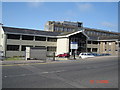
F.R.S. Torry Research Lab
The Fisheries Research Service, Torry Research Laboratory. Picture taken from Victoria Road
Image: © George Wilson
Taken: 19 Aug 2006
0.14 miles
5
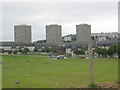
Housing at Balnagask
Mixture of flats and different housing types at Balnagask, Aberdeen
Image: © Lizzie
Taken: 30 Jul 2004
0.14 miles
6
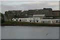
Torry
The white building currently houses Bon Accord drinks and the Scottish Environmental Protection Agency.
Image: © Mike Pennington
Taken: 3 Aug 2008
0.20 miles
7
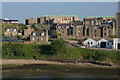
St Fittick's Road, Aberdeen
Taken from the Shetland ferry.
Image: © Mike Pennington
Taken: 3 Jun 2011
0.21 miles
8
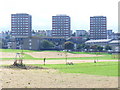
Balnagask Housing Estate
1960s development of low and high rise houses in south-eastern Aberdeen. In the foreground is the park by the ruined St Fittick's Church.
Image: © Colin Smith
Taken: 10 Aug 2009
0.21 miles
9
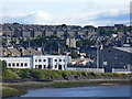
Torry from the Harbour Mouth
View from the daily Shetland ferry towards Torry with its riverside industry and its Victoria and Balnagask Roads houses on the hillside.
Image: © Colin Smith
Taken: 9 Jul 2010
0.21 miles
10
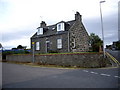
Granion Cottage, Torry
Facing Footdee, at junction of Greyhope Road with St Fittick's Road.
Image: © Stanley Howe
Taken: 27 Aug 2007
0.21 miles