
IMAGES TAKEN NEAR TO
Marine Terrace, ABERDEEN, AB11 7SF
Introduction
This page details the photographs taken nearby to Marine Terrace, AB11 7SF by members of the Geograph project.
The Geograph project started in 2005 with the aim of publishing, organising and preserving representative images for every square kilometre of Great Britain, Ireland and the Isle of Man.

There are currently over 7.5m images from over14,400 individuals and you can help contribute to the project by visiting https://www.geograph.org.uk
Image Map
Images are licensed for reuse under creativecommons.org/licenses/by-sa/2.0
Notes
- Clicking on the map will re-center to the selected point.
- The higher the marker number, the further away the image location is from the centre of the postcode.
Image Listing (122 Images Found)
Images are licensed for reuse under creativecommons.org/licenses/by-sa/2.0
Image
Details
Distance
1
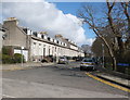
Marine Terrace, Ferryhill, Aberdeen
Designed by Archibald Simpson in 1830 and completed later and B-listed: http://www.britishlistedbuildings.co.uk/sc-20421-3-11-inclusive-numbers-marine-terrace-inc .
Image: © Bill Harrison
Taken: 27 Apr 2013
0.00 miles
2
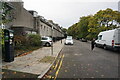
Marine Terrace off South Crown Street, Aberdeen
Image: © Ian S
Taken: 5 Oct 2022
0.01 miles
3
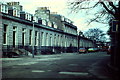
Marine Terrace
Granite terrace in Ferryhill, Aberdeen. It was originally designed by Archibald Simpson (1837) and was added to by Russell Mackenzie & Duncan Macmillan (1880).
Image: © Colin Smith
Taken: 1 Mar 1983
0.01 miles
4
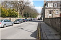
Looking down South Crown Street, Aberdeen
No houses to the left, but the slope up to Marine Terrace.
Image: © Bill Harrison
Taken: 27 Apr 2013
0.02 miles
5
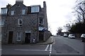
South Crown Street
Grey granite in Aberdeen
Image: © Richard Webb
Taken: 4 Apr 2017
0.03 miles
6
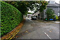
Abbotsford Lane off South Crown Street, Aberdeen
Image: © Ian S
Taken: 5 Oct 2022
0.04 miles
7
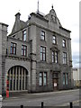
Aberdeen Power Station
The main building of the former Aberdeen Corporation power Station on Millburn Street. The building was latter used by the North of Scotland Hydro Electric Board. It is one of a few old buildings left at the site, which is being redeveloped for housing.
Image: © George Wilson
Taken: 23 Jun 2005
0.05 miles
8
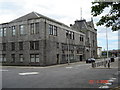
Aberdeen Power Station
A view of part of the former Aberdeen Corporation power station and N.S.H.E.B. depot at the junction of Crown Street and Millburn Street. The buildings in the foreground up to the main entrance have been demolished and the site is being redeveloped.
Image: © George Wilson
Taken: 23 Jun 2005
0.05 miles
9
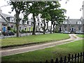
South Crown Street
Granite houses on South Crown Street.
Image: © Richard Webb
Taken: 3 Aug 2011
0.06 miles
10
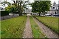
Turf Zone "MarinePlaza"
Off South Crown Street, Aberdeen.
Image: © Ian S
Taken: 5 Oct 2022
0.06 miles