Boscombe: path through Shelley Park
Introduction
The photograph on this page of Boscombe: path through Shelley Park by Chris Downer as part of the Geograph project.
The Geograph project started in 2005 with the aim of publishing, organising and preserving representative images for every square kilometre of Great Britain, Ireland and the Isle of Man.

There are currently over 7.5m images from over 14,400 individuals and you can help contribute to the project by visiting https://www.geograph.org.uk
Boscombe: path through Shelley Park
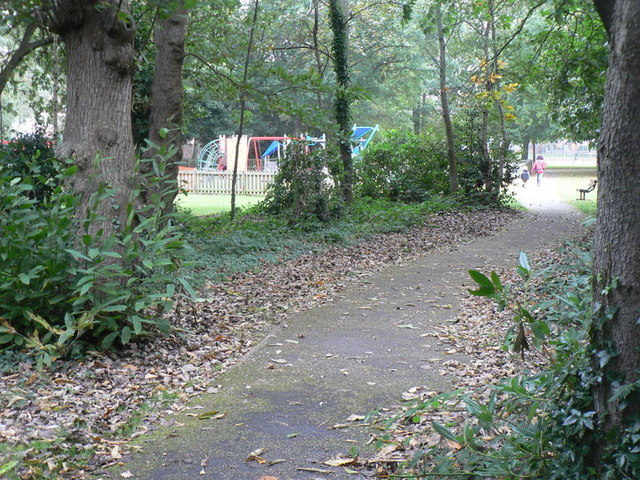
Image: © Chris Downer Taken: 4 Oct 2008
Here, the path emerges from the wooded section of the park, entering the open space to the north which also has a children's play area.
Images are licensed for reuse under creativecommons.org/licenses/by-sa/2.0
Image Location
Latitude
50.723274
Longitude
-1.832781